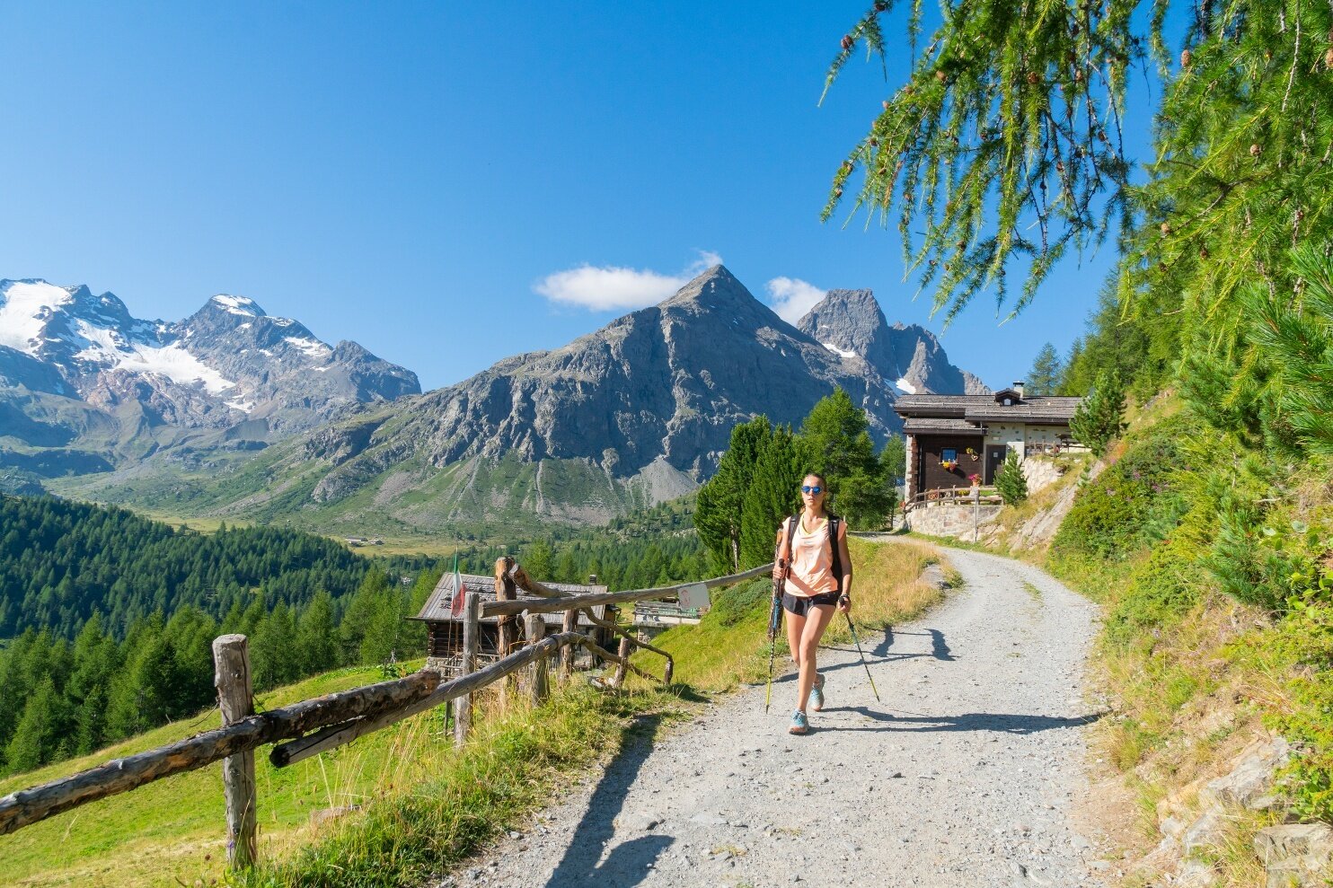
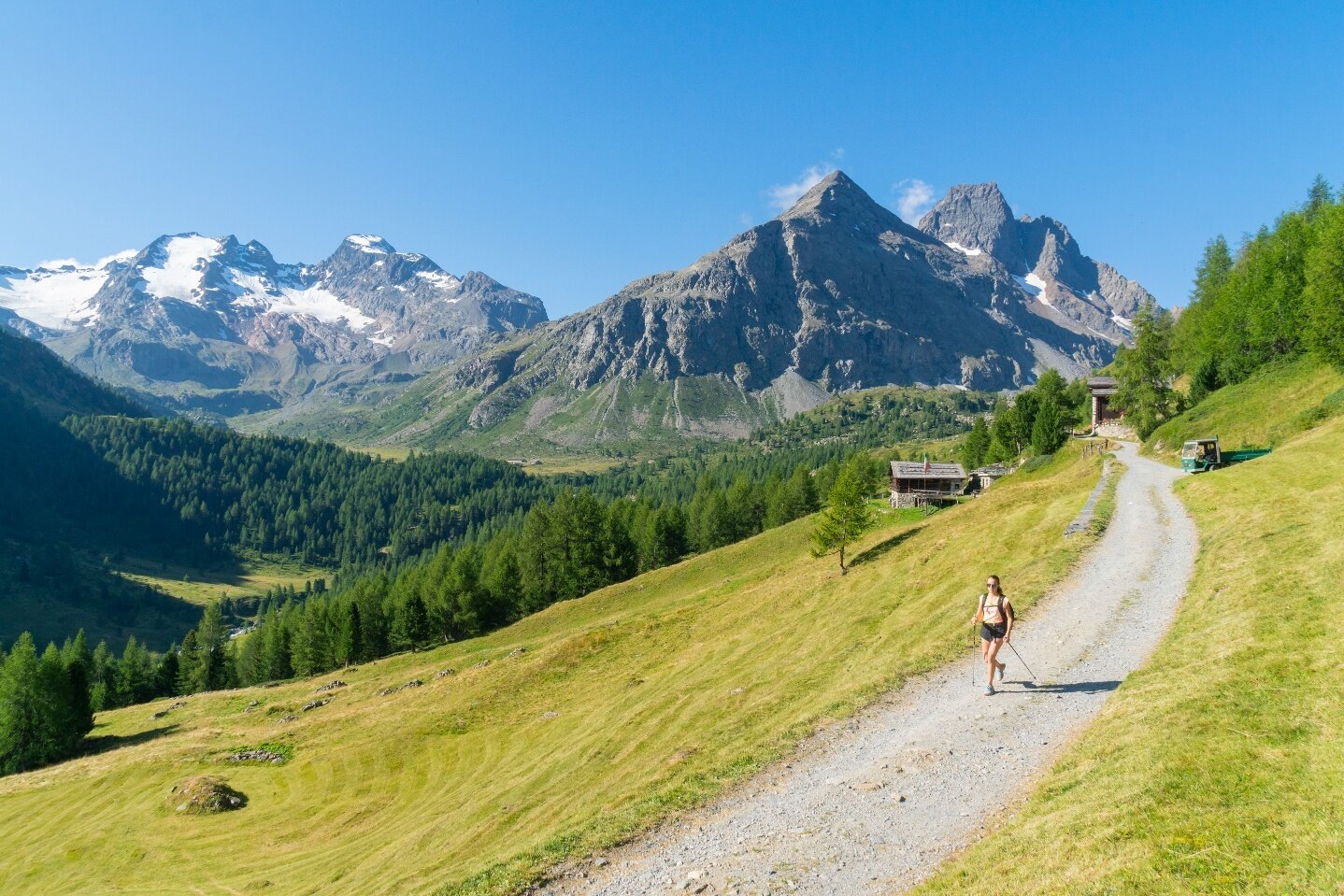
The route starts at Arnoga, where it is possible to park the car. Here you take the flat road right at the hairpin bend, at the explanatory signs, continuing for about 5 km on asphalted surface until reaching the locality Altumeira. It is noted that it is possible to reach the Altumeira parking lot directly by car, subject to purchase of a specific ticket or with the shuttle service active in July and August. Then the actual trail begins, almost entirely flat or with brief sections of gentle ascent, which leads directly to Lago Viola. The view opening before your eyes is spectacular from the start, with sight of the imposing peaks dominating the valley. After about 25 minutes, a fork is reached where you should keep right (the direction is well indicated by the appropriate signs). Continuing on the gently sloping and consistently inclined path, you first reach the beautiful alpine pond and immediately after the Rifugio Viola, at an altitude of about 2,300 m. From here, it is also possible to quickly reach Passo Viola, marking the border with Switzerland.
Val Viola - Lago Viola
Itinerary details
Find your stay, events, services, passes, forecast & webcams
Trying to organise your holiday in Bormio? We've put all the information you need in one place: from which mountain passes are open (so you can plan your journey), to our guide to what's on during your stay, information on which lifts are open, and the opening times for QC Terme Bormio and Bormio Terme. You can also find a list of local restaurants and equipment rental shops.


