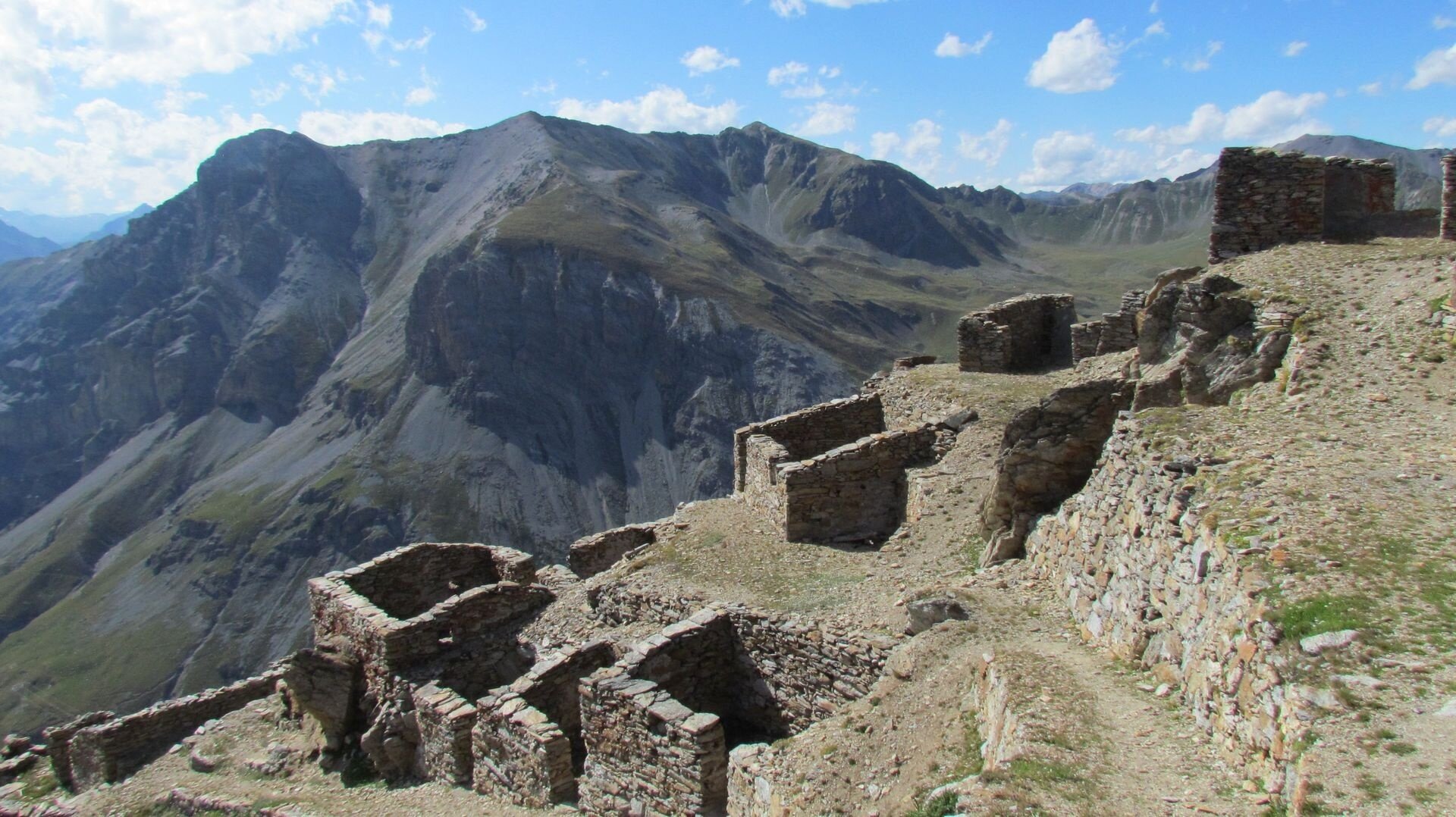
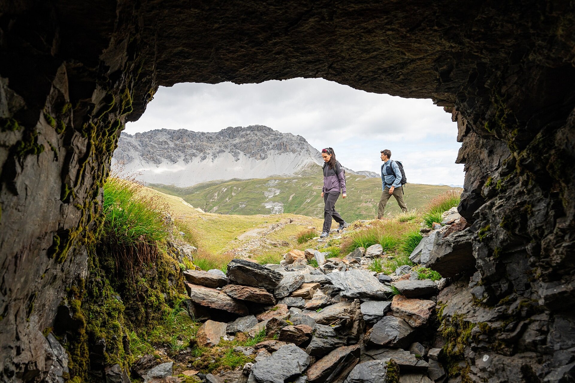
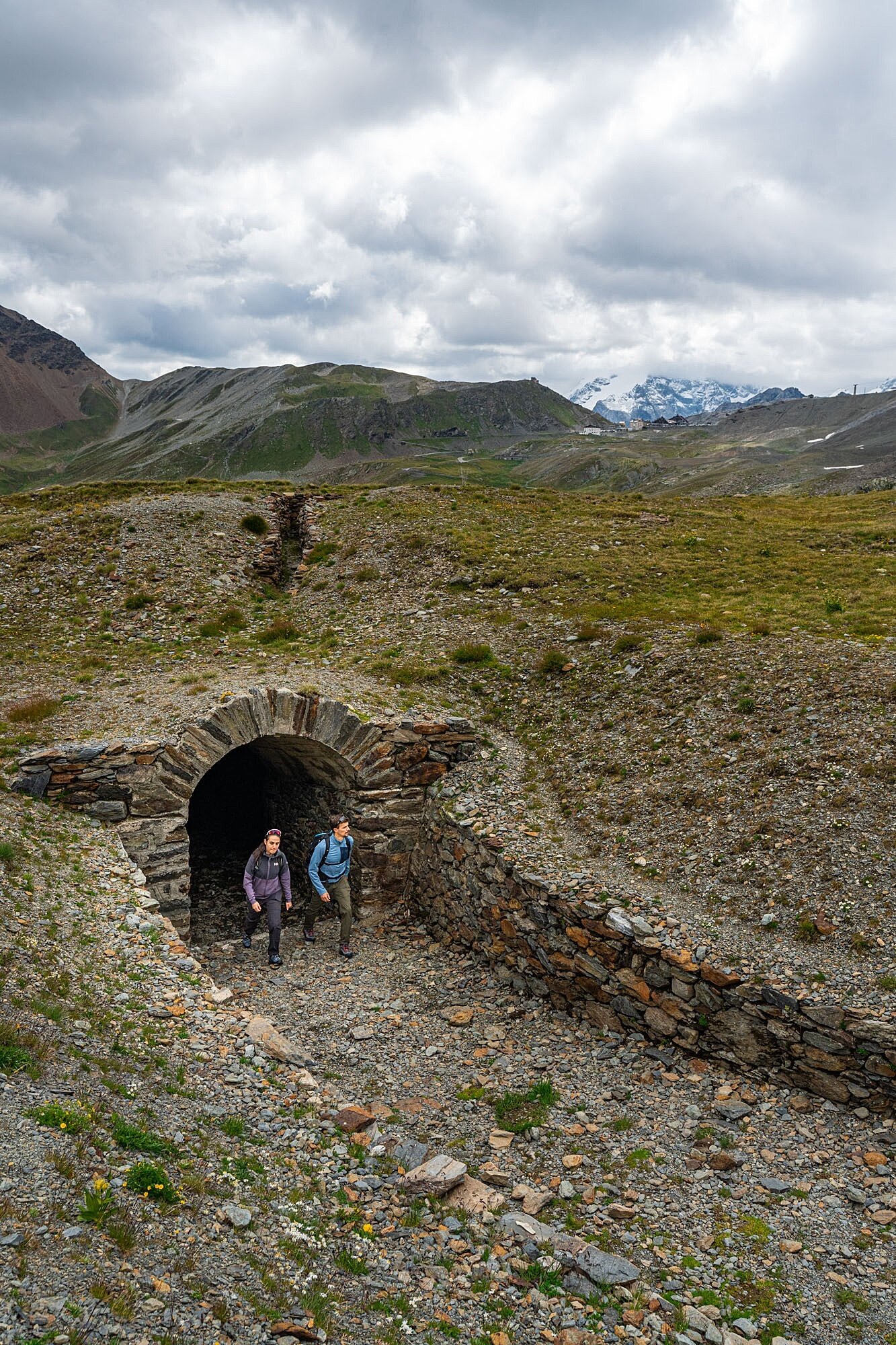
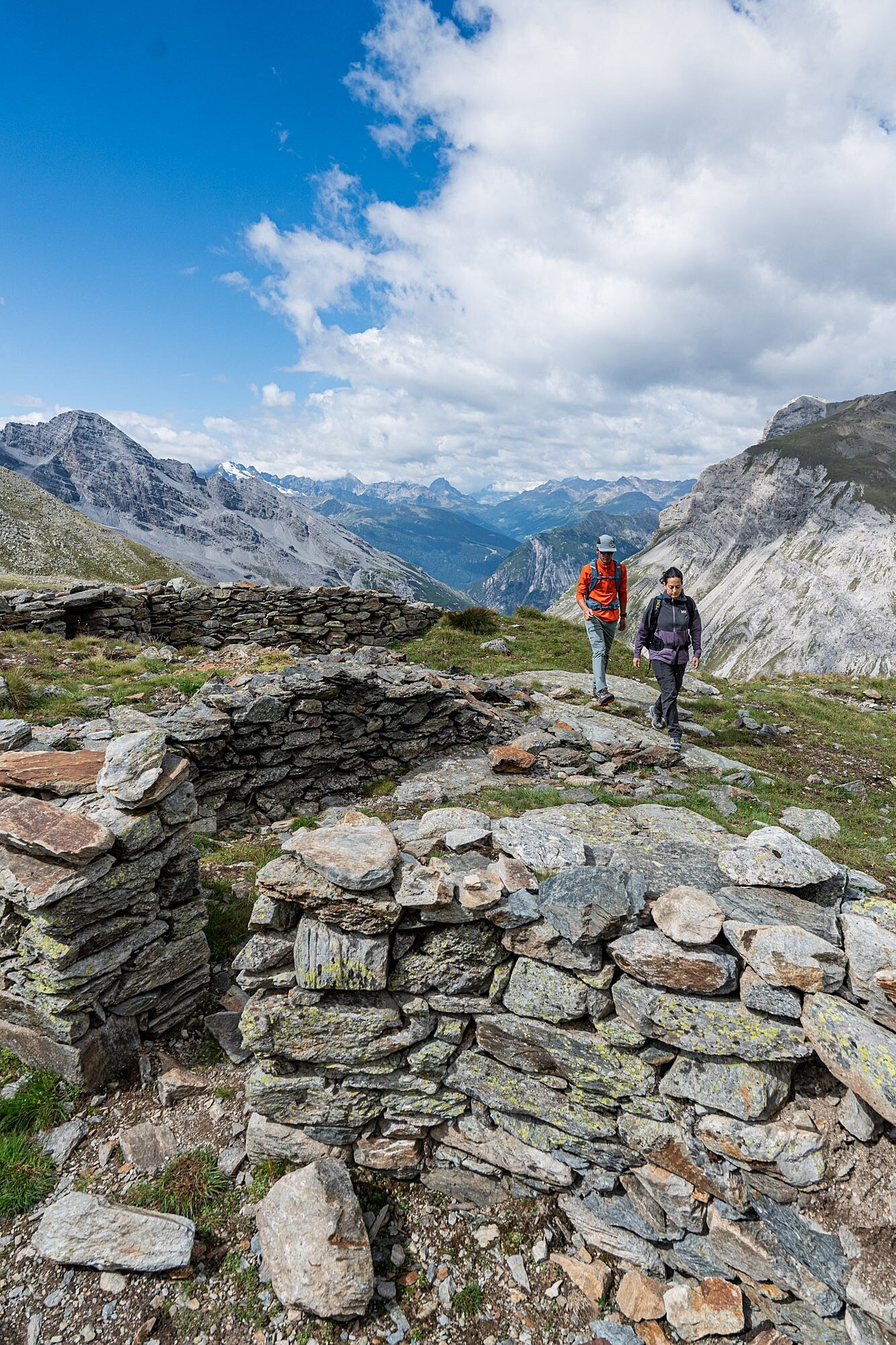
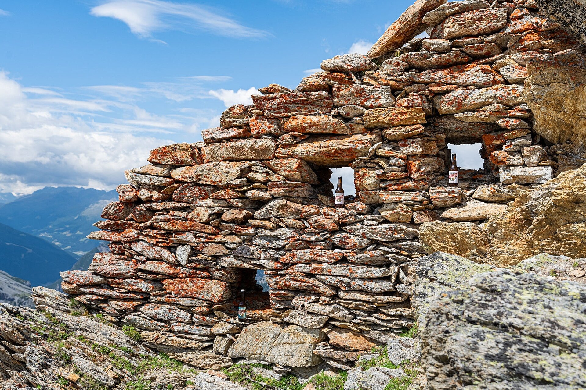
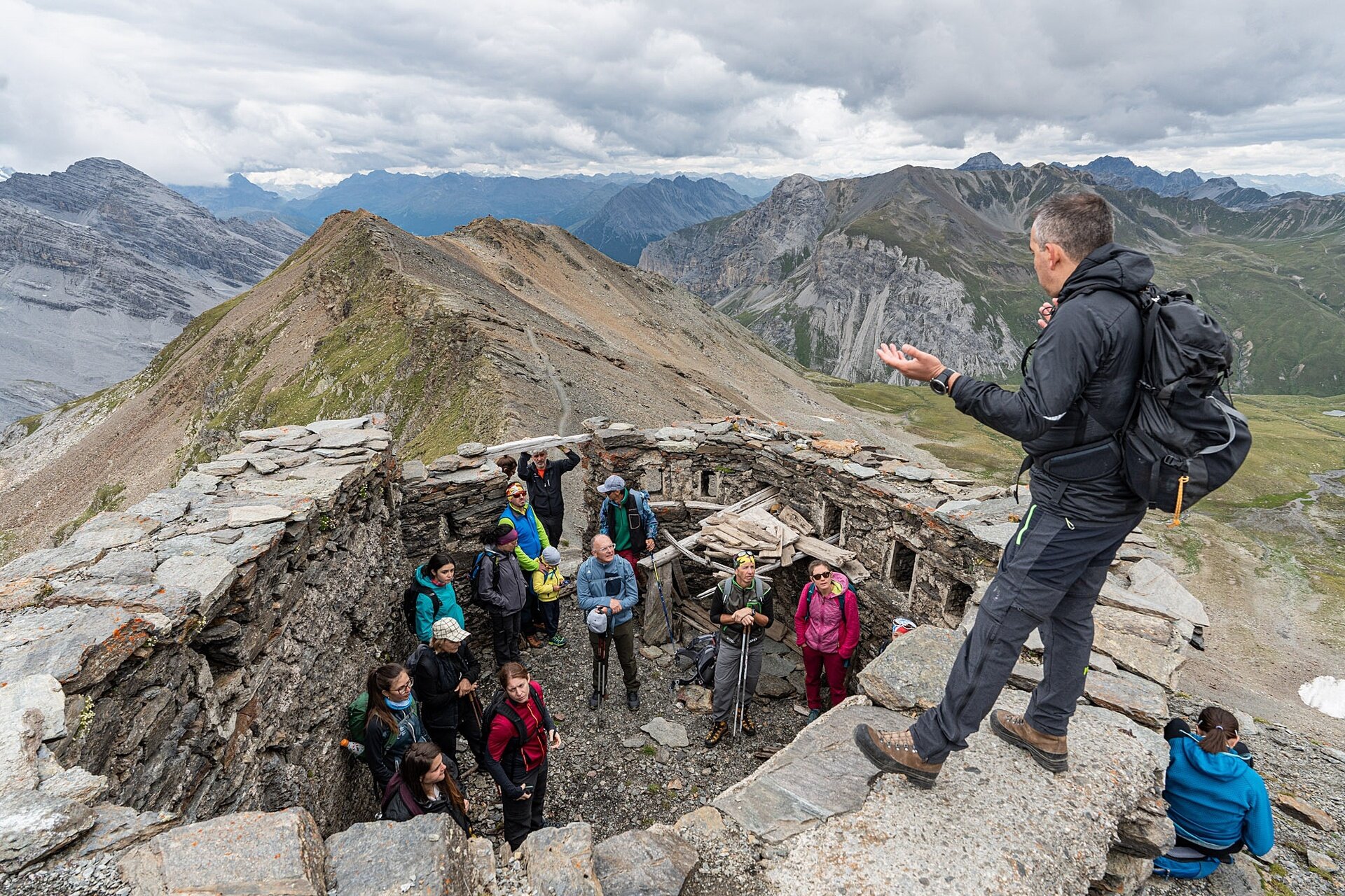
The First World War left many traces in the Lombardy mountain areas: also here, in the Stelvio National Park, where fighting took place at very high altitudes and in extreme environmental conditions.
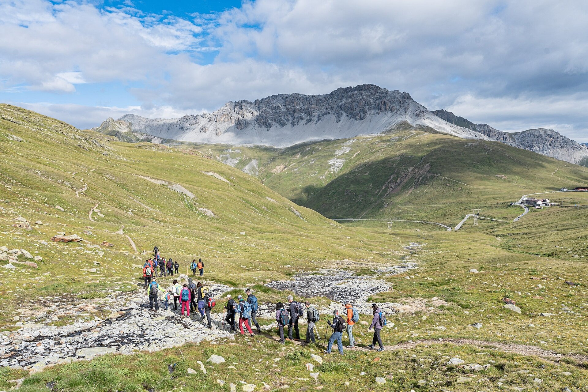
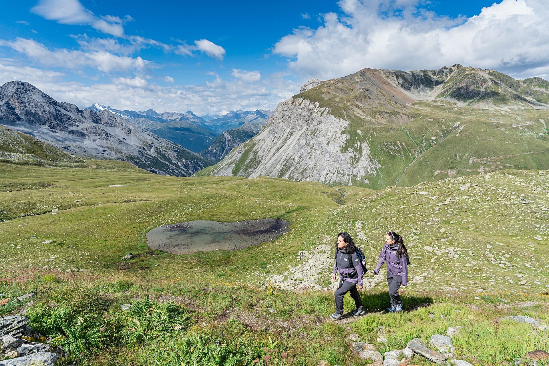
Fascinating places where the beauty of natural scenery contrasts with the tragedy of the events. The route starts from the third hairpin (m 2588) above the Fourth Cantoniera of the SS 38 of the Stelvio (m 2488) and reaches Filon dei Mot, following the left orographic side of the Braulio Valley.
Passing by Laghetto Alto and then by the Lower Rese of Scorluzzo, the Piano di Scorluzzo and the Malga Scorluzzo are reached, then climbing up to the military settlement of Filon dei Mot (m 2768); from here, continue along the easy and scenic ridge, overlooking the south direction on the Valle dei Vitelli, up to the last defensive military position (m 2926).
It is possible to return by the same route used for the ascent, once the military village is reached, or continue along path S506 to the Stelvio Pass and close the loop by returning to the starting point.
