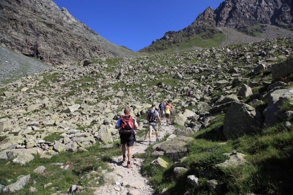
Lasciare l'auto alla prima diga, il bacino di Campo Moro. Attraversato il muraglione si prosegue in discesa per circa 50 mt. Da qui, seguendo le indicazioni, si supera un primo tratto molto ripido poi il sentiero diventa pianeggiante e, tra i larici, si comincia a scorgere il rifugio. Nella prima parte della salita l'itinerario si snoda nel bosco, poi pian piano la vegetazione si fa sempre piu' rada fino a sbucare su ampi pascoli. Il sentiero prosegue zigzagando su dossi fino ad arrivare al rifugio posto pochi metri sotto la bocchetta delle Forbici. Si arriva al rifugio in 2.30 ore con un dislivello 700 m
Rifugio Carate
Itinerary details


Associated itinerary slider title
Associated itinerary slider description
Find your stay, events, services, passes, forecast & webcams
Trying to organise your holiday in Bormio? We've put all the information you need in one place: from which mountain passes are open (so you can plan your journey), to our guide to what's on during your stay, information on which lifts are open, and the opening times for QC Terme Bormio and Bormio Terme. You can also find a list of local restaurants and equipment rental shops.
