Homepage
Go to the footer

Sentiero Roma in Val Masino

Itinerary details

Itinerary type iconAlpine trail Duration icon17:31 h Length icon33.65 km LBL_ICONA_DISLIVELLO3263 m Difficulty iconDifficult

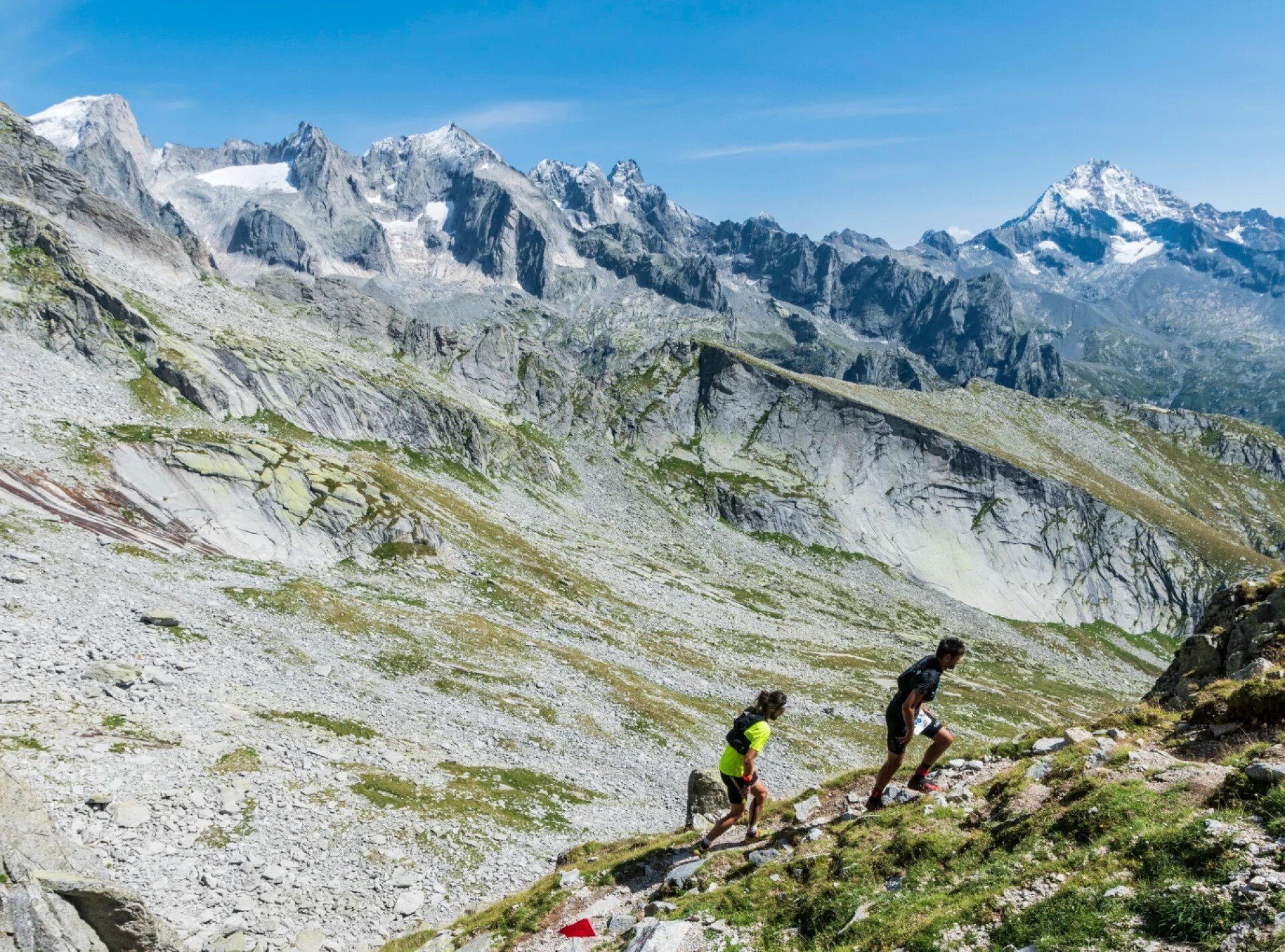
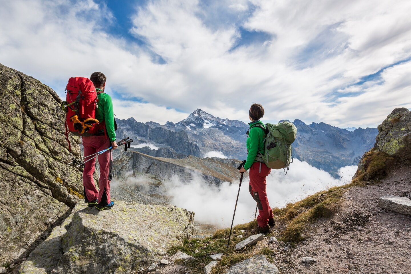
Il Sentiero Roma, tracciato intorno agli anni ‘20 del secolo scorso, sviluppa il suo percorso sul versante meridionale del massiccio Masino-Bregaglia-Disgrazia, tra valichi e vallate di incantevole bellezza, immerso in una cornice granitica ricca di fascino.

1ª tappa

Bagni di Masino – Rifugio Gianetti

Dislivello totale: 1300 m

Difficoltà: E

Tempo: 4 ore

2ª tappa

Rifugio Gianetti – Rifugio Allievi

Dislivello totale: m 800

Difficoltà: EE

Tempo: 8 ore

3ª tappa

Rifugio Allievi – Rifugio Ponti

Dislivelli totale: m 1100

Difficoltà: EE

Tempo: 9 ore

4ª tappa

Rifugio Ponti – Preda Rossa

Dislivello totale: 600 m (in discesa)

Difficoltà: E

Tempo: 2 ore

Sentiero Roma
Img2 611850007 Default Variant
Img2 611850008 Default Variant

Associated itinerary slider title

Associated itinerary slider description

Find your stay, events, services, passes, forecast & webcams

Trying to organise your holiday in Bormio? We've put all the information you need in one place: from which mountain passes are open (so you can plan your journey), to our guide to what's on during your stay, information on which lifts are open, and the opening times for QC Terme Bormio and Bormio Terme. You can also find a list of local restaurants and equipment rental shops.

Thank you

We’ve sent you an email. To activate the newsletter, click on the link you will find in the message. Thank you!

Something went wrong

Try again

Close

Your request has been sent.

We have received your request. We will reply soon. A copy of the data you have provided us with has been sent to your email address.

Close

Your request has been sent.

We have received your request. Accommodations will answer soon. You will receive a copy of the data at the e-mail address you provided.

Close

Newsletter subscription title