The Sentiero Viola offers an enchanting experience for walkers and cyclists in Alta Valtellina. Over 10 km long, this cycle and pedestrian path starts in Semogo, Valdidentro, and stretches all the way to Bormio. Accessible to all, it allows visitors to enjoy the surrounding natural beauty and integrates perfectly with the Sentiero Valtellina, starting from the Pentagon in Bormio.
The recent completion of the Sentiero Viola towards Bormio makes Alta Valtellina an ideal option for those seeking peace and quiet in the open air, away from vehicular traffic.
Starting from the area of the Semogo sports centre, next to the cemetery on the right-hand side, a section of cycle/pedestrian path begins, with an initial descent to the first bridge that allows you to reach the valley floor. This route, known as the 'Sentiero Viola', takes its name from the river of the same name that flows through the valley. A second bridge is crossed and the trail then continues on the left side, with the "La Presura" sports area as the first point of interest on the right side as soon as the first houses of Isolaccia are reached; the trail continues in the direction of the village of Isolaccia and then reaches the hamlet of Pedenosso, passing near the Rasin Power Station and ending at the Ski Stadium in Via Azzurri d'Italia.
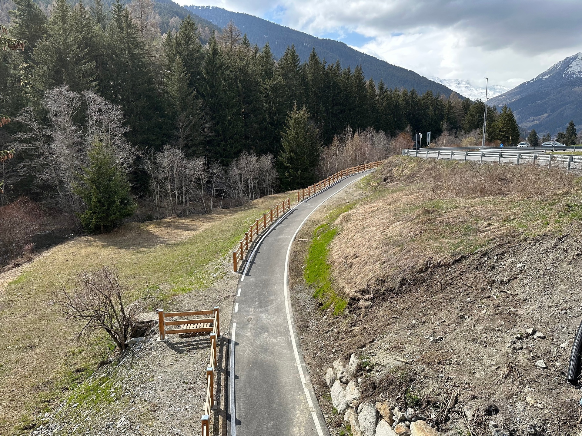
The most recently completed section starts from the Ski Stadium, crosses the bridge and moves to the left bank of the river, passing a little further on near the Motte roundabout to then reach the locality of "Sughetto", where it crosses an old stone bridge of characteristic charm. A short stretch along the right bank offers glimpses of the built-up area of Fior d'Alpe, and then crosses a new bridge, which after a short, slightly downhill stretch allows you to reach the access point to the "Planecc" sports area at Premadio.
From here, the route continues along an as yet unpaved stretch that passes through the pine forest at the edge of the A2A water intake and then crosses the Viola stream a little further on and joins the stretch of cycle path that descends from the Church of San Gallo and goes towards the end of the route near the Pentagon area of Bormio. From this point, the Sentiero Valtellina begins, which runs along the course of the Adda river to Colico.


