The adventure begins already on the Strada Provinciale Trivulzia: even the 800 meters before the junction to Valbodengo have uphill characteristics for those coming from Colico. At the crucial fork before the bridge over the Crezza stream, a left turn toward Valbodengo marks the entrance to a different world.
The first section through Gordona still offers a breath of relief with modest gradients until kilometer 1.5. But from the last houses in the village, the mountain begins to show its teeth: the gradients become progressively more challenging until, at the mouth of the consortium road, the real confrontation with alpine verticality begins.
The average gradient touches an impressive 12 percent in a dramatic crescendo. Six hairpin bends punctuate this merciless section where the road never gives respite, stubbornly keeping above 10 percent. The fiercest ramps occur at kilometer 3 (14%) and peak at kilometer 5 with peaks up to 16% that test even the most trained cyclists.
At the trattoria, a breathtaking view of Valchiavenna and the imposing Pizzo di Prata massif offers the just reward for sustained fatigue. Fortunately, the most impassable section remains behind.
Once past the most difficult section, the climb still features challenging segments (11 percent at km 7.2, 13 percent at km 9) but all are short-lived, almost final spurts toward liberation. The most striking moments come when the road runs along the hillside, giving breathtaking passages over the famous canyon below.
It is not uncommon to come across canyoning groups equipped with wetsuits and ropes, ready to try their hand at this fascinating discipline of which Valbodengo represents an ideal testing ground. The wild environment, characterized by some uneven stretches and the presence of a short parafrane tunnel (watch out for signs prohibiting passage in adverse weather conditions), adds a touch of authentic adventure.
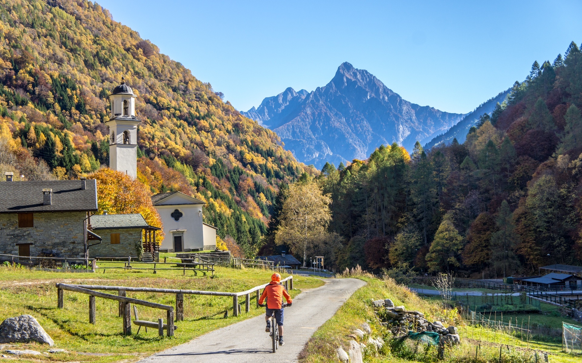
Reaching the first hamlets of the valley, the environment is radically transformed. Starting from Pra Pince, the landscape opens up into more gentle and welcoming scenery. The Boggia stream flows placidly on the left, accompanying the cyclist until the arrival in Bodengo, a small village of rare beauty, anticipated by the characteristic church of San Bernardo.
For the more adventurous, beyond Bodengo (with passages of 14%) it is necessary to ford the stream: the asphalt road ends after less than a kilometer in an anonymous place, but it has managed to keep intact the appearance of the past.
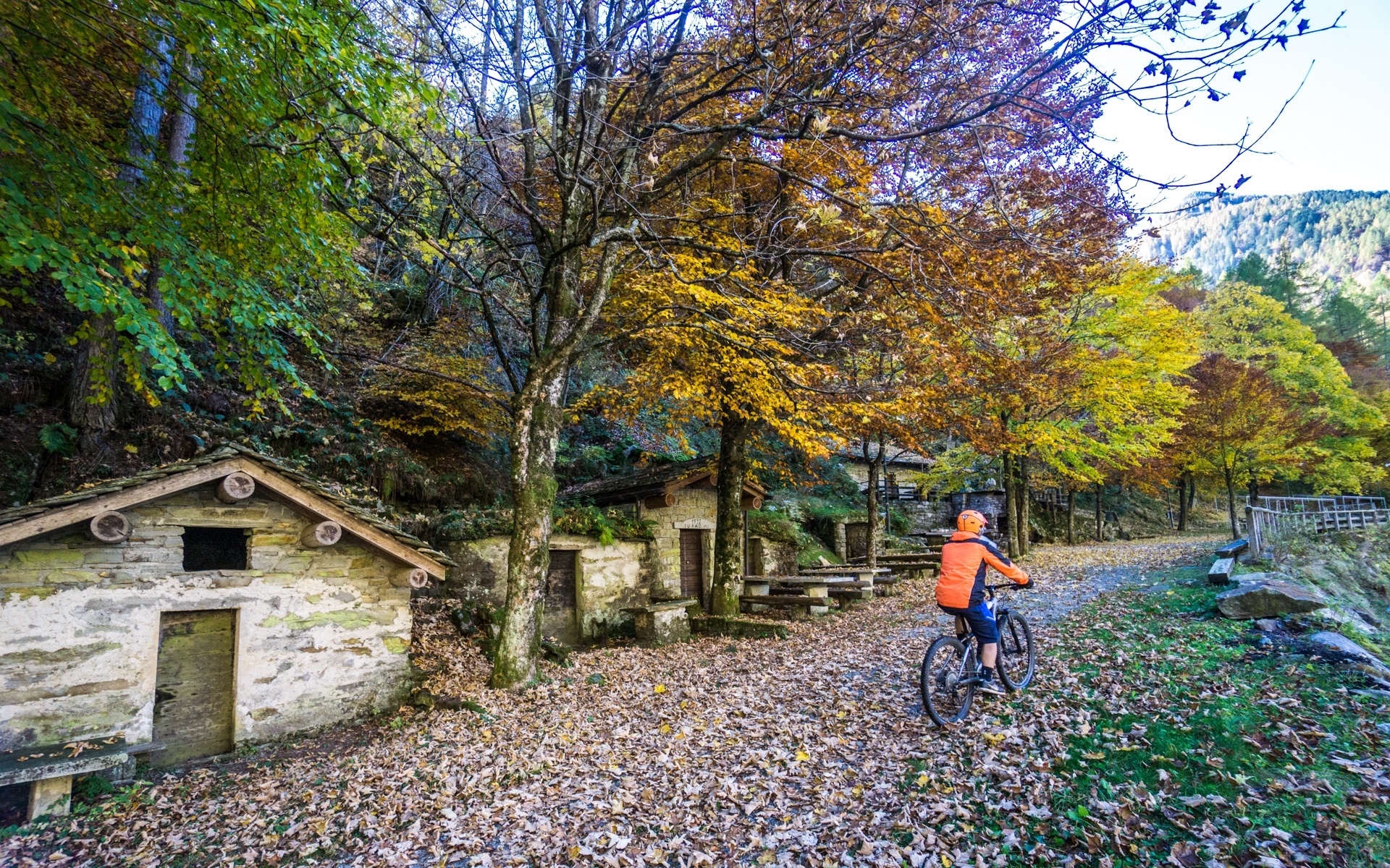
The route, with the exception of the first two kilometers, runs entirely in the shade of dense chestnut forests, offering valuable protection from the sun and numerous characteristic fountains for quenching one's thirst along the way.
Important note: To drive along the consortium road by car, it is necessary to obtain a special paid permit from the bar near the church. Traffic, although the road is toll-free, can create some annoyance on summer weekends, also considering the small size of the roadway.
Daring climbers and lovers of impossible inclines can try their hand at this alternative route: past the trattoria, turn right and, past the bar after the first hairpin bend, tackle a real wall of asphalt that leads up to an altitude of 1,116 meters.
This track represents a 360-meter vertical leap along 2.9 kilometers of pure cycling masochism: 13 hairpin bends with average gradients above 12 percent and peaks of 20 percent that defy the laws of physics and human endurance. The only downside of this extreme variant is that the road currently ends in an anonymous place, just a few hundred meters from the Orlo alpine pasture, making the endeavor an end in itself but tremendously fascinating for those seeking the pure thrill of absolute verticality.


