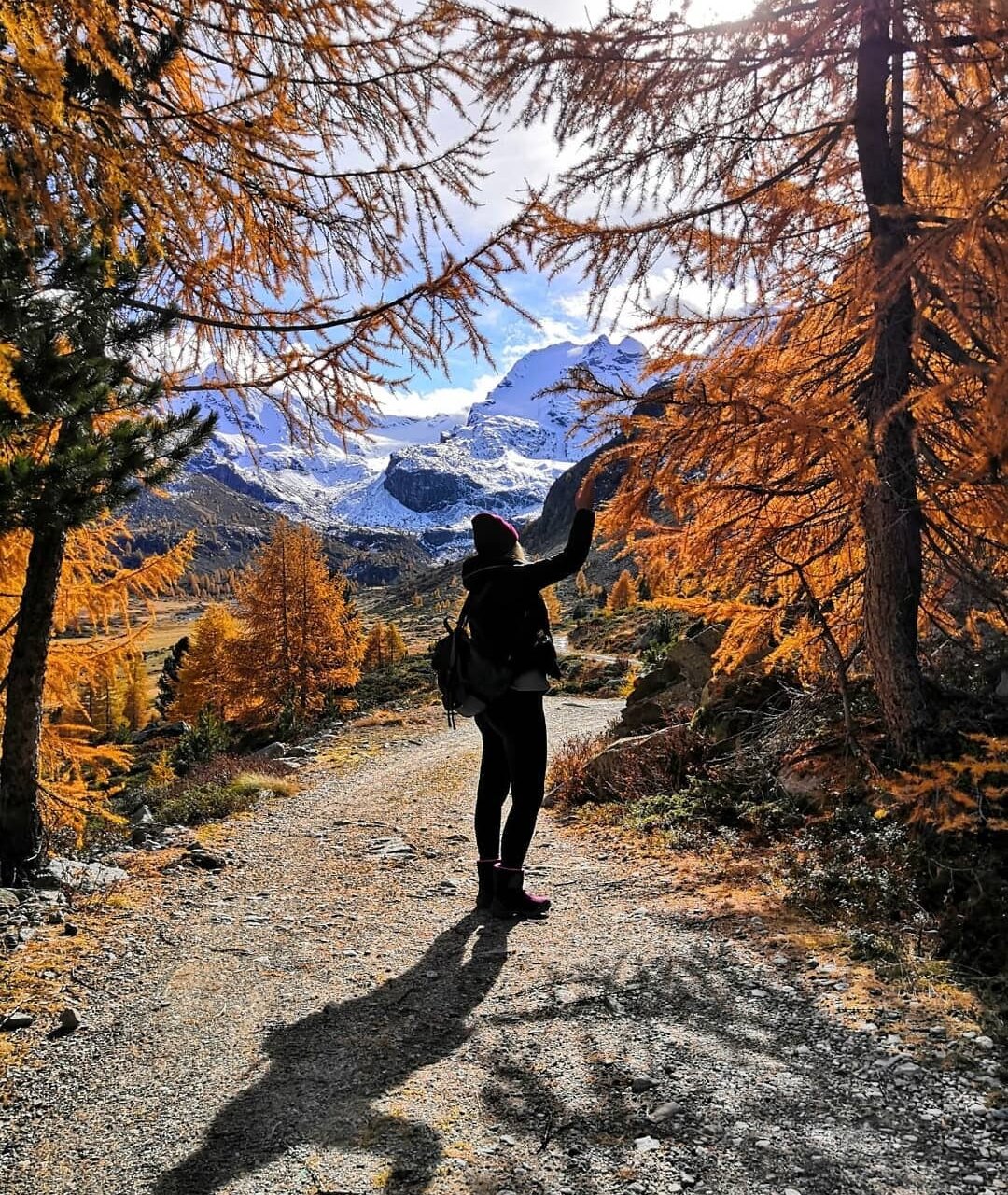
When you're setting off on a hike, planning your route is essential. Download the Valtellina Outdoor app and plan your next hike in Alta Valtellina.
The Bormio area is a paradise for people who love to explore the great outdoors, whether on foot or by bike.
But with so many marked trails in Alta Valtellina, how do you know if your chosen route is suitable for kids, an easygoing walk or a challenging hike?
Valtellina Outdoor is the app for your hikes in Valtellina
The new Valtellina website and app can help. Download the app on your Android or Apple device.
Valtellina Outdoor is much more than just a trail map. It's a useful tool, available in Italian, English and German, that lets you choose from the vast array of hiking routes in Valtellina throughout the year.
And it's interactive. Plan your itinerary or check the one you've just completed and calculate the elevation profile, height difference, duration and highest/lowest points.
What’s in the app
Discover all the outdoor routes in Valtellina and filter by difficulty level, activity and season. In winter you can find snowshoeing and ski touring routes.
There are detailed route descriptions for biking, hiking and other activities, including technical details, difficulty level, photos, cultural/scenic interest rating and things not to miss along the route.
You can also download maps via the app. Visualise maps in high definition and check your position in relation to the route at any time, even without an internet connection. Just download the map before you set off.
The Valtellina Outdoor website shows routes in 3D and, where available, also in Street View.
Download the app for free.
Register on the app or website to create, save and share your own personalised route. Choose the area you want to explore or check the app for inspiration.

