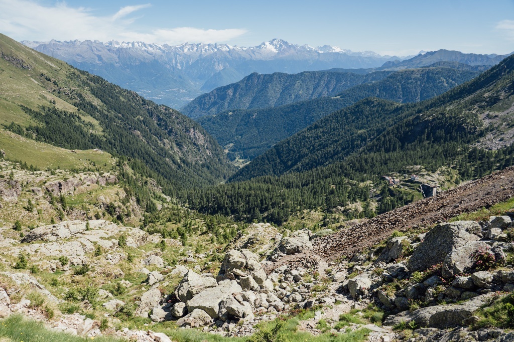
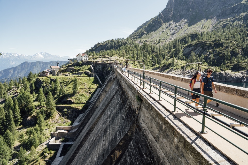
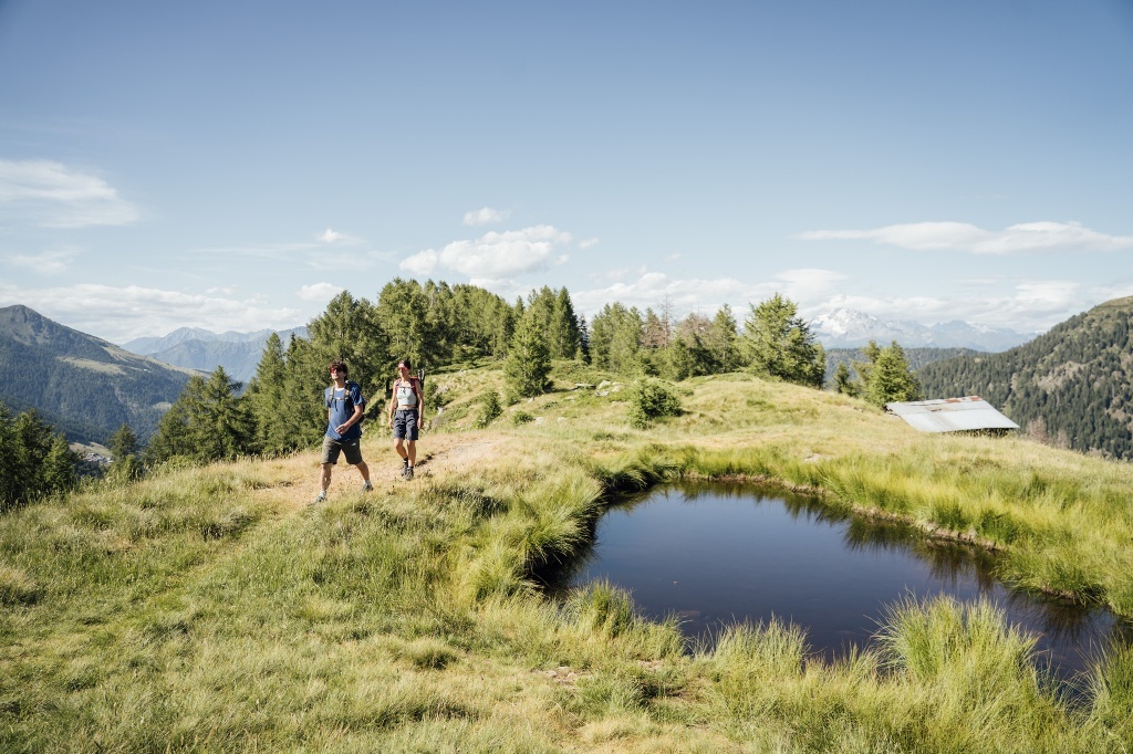
The route starts from the parking lot of Pescegallo (4,830 ft); from here head right to reach trail number 148 that climbs through the woods. The trail reaches and passes the Lago di Trona, which is at 5,915 ft above sea level, then follow the path that - near a hut - climbs the scree towards the Lago dell'Inferno (6,795 ft), another artificial basin. The Pizzo is now in sight but still far: you are about halfway through the itinerary. The path continues past the dam to reach the Bocchetta di Varrone (6,975 ft), then on the trail heading left along the shore of the lake. Trail number 118 follows the slope and climbs to the Bocchetta di Piazzocco (7,395 ft). The route - in its final section, with an elevation gain of about 985 ft - climbs the long ridge of the Pizzo, passes a last plateau and some simple slabs. The summit of the Pizzo dei Tre Signori is at 8,375 ft. The view encompasses all the Alps, up to Monte Rosa and the Matterhorn; to the south, the Valsassina with the Grigne, Milan, the Lombard plain and the hills of the first Tuscan-Emilian Apennines.
The return follows the same itinerary.


