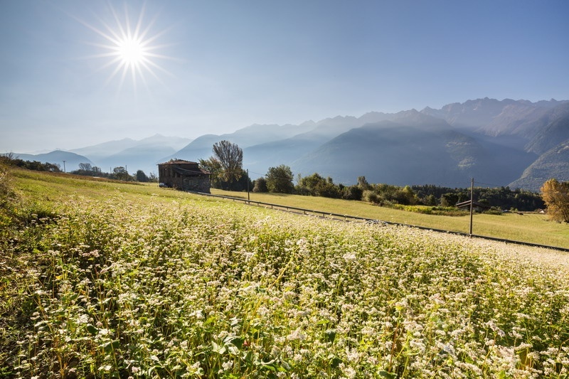
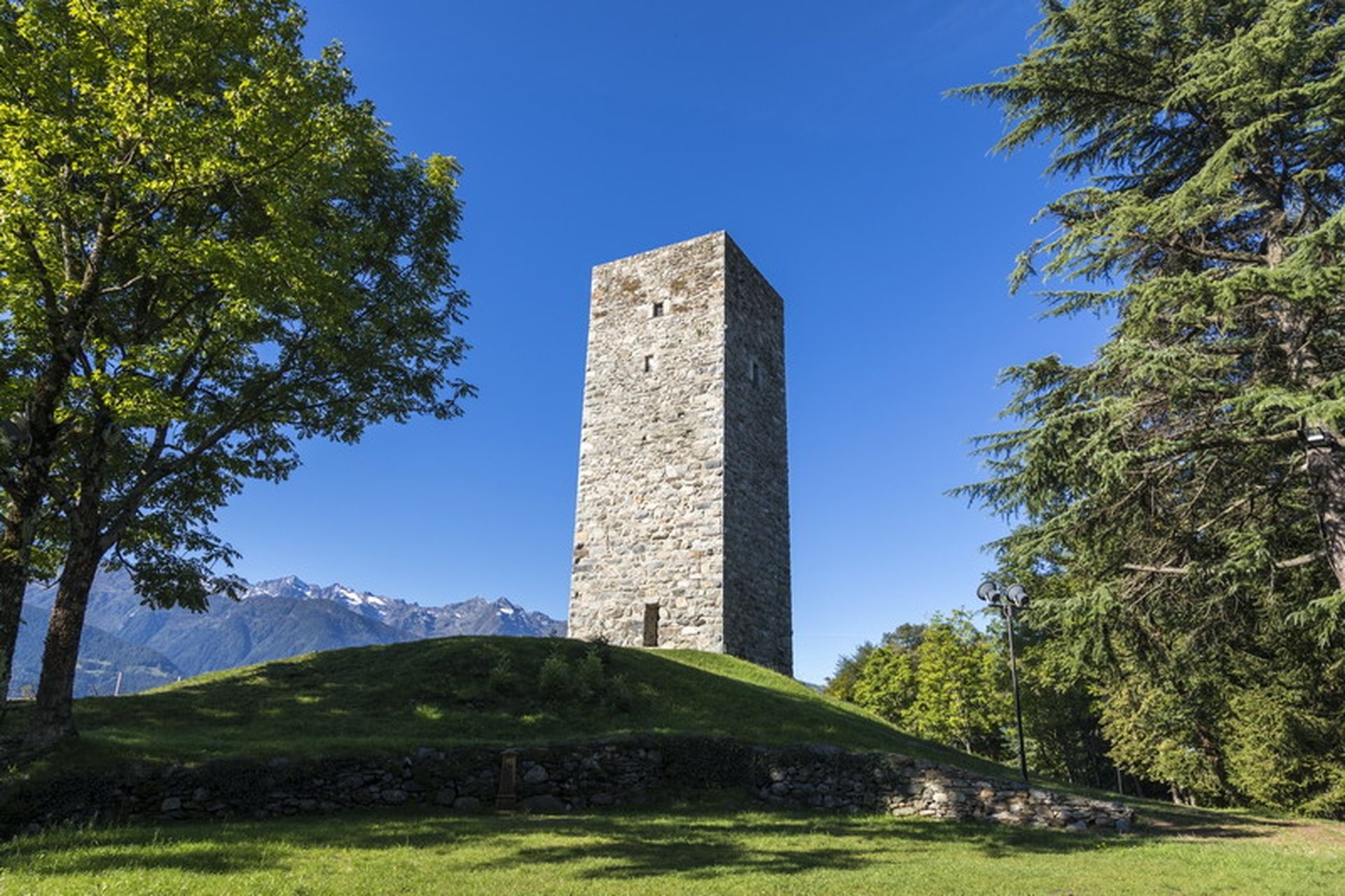
The first stage leads to the tower of the Teglio castle (893 m above sea level), from which you can admire the magnificent panorama over a large part of the Valtellina. From the hill, you descend towards Palazzo Besta, until shortly the road on the left becomes a path, ready to guide to the church of St. Anthony and then to Vangione (path with trail marker no. 306). Continuing in the same direction, you pass the district up to the locality of La Sella (620 m above sea level), a production area of Valgella wine. On the right, having almost completely bypassed the slight hill, a small bridge crosses the stream: from here begins the climb for the return. At the church of St. John, turn right and, following the signs for Teglio, you first pass through the locality Capitel, then climb the panoramic ridge of Dos de la Forca, in whose rocks it is easy to recognize groups of prehistoric cup marks. After passing the long ridge, descend towards Teglio toward the wide meadows and fields often cultivated with buckwheat. Taking the paved road to the right for about a hundred meters, on the left an agricultural road through the meadows leads back to Teglio.
On the hills of Teglio among the buckwheat fields and the vineyards of Valgella
Itinerary details


Associated itinerary slider title
Associated itinerary slider description
Find your stay, events, services, passes, forecast & webcams
Trying to organise your holiday in Bormio? We've put all the information you need in one place: from which mountain passes are open (so you can plan your journey), to our guide to what's on during your stay, information on which lifts are open, and the opening times for QC Terme Bormio and Bormio Terme. You can also find a list of local restaurants and equipment rental shops.
