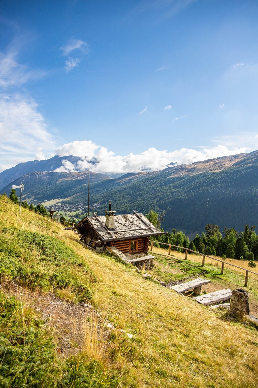
Start from parking area Pont Lo'nch P14. Take a right onto path N190 which climbs slightly along the entire west side of the Livigno Valley, which delimits the farmers' fields planted with fodder from the stateowned land, which is generally forested and characterised by tee. At the Plane'gl Bas take the left fork onto path N157 which climbs up through a forest of larch and fir trees until a large green open space where there stands the Baite'l da Plasgiane't with its excellent panoramic views. Continue across the Rin da la Ro'ina stream to the Baite'l dal Canton. From here, you descend along the banks of the Rin da Soli'f to parking area P14 Po'nt Lo'nch.
Baitel da Plasgianet
Itinerary details
Find your stay, events, services, passes, forecast & webcams
Trying to organise your holiday in Bormio? We've put all the information you need in one place: from which mountain passes are open (so you can plan your journey), to our guide to what's on during your stay, information on which lifts are open, and the opening times for QC Terme Bormio and Bormio Terme. You can also find a list of local restaurants and equipment rental shops.

