Homepage
Go to the footer

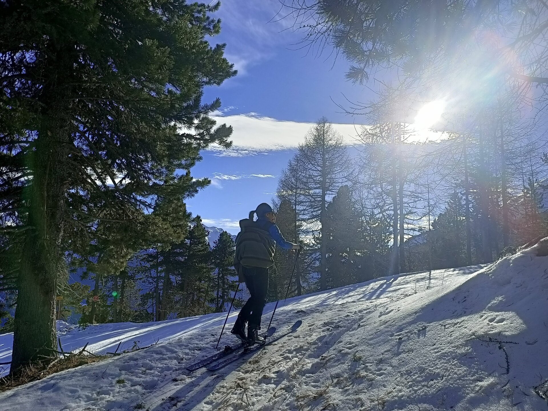
Stelvio Natural Skimo Trail - Oga

Itinerary details

Itinerary type iconSki mountaineering Duration icon2:00 h Length icon3.41 km LBL_ICONA_DISLIVELLO550 m Difficulty iconEasy

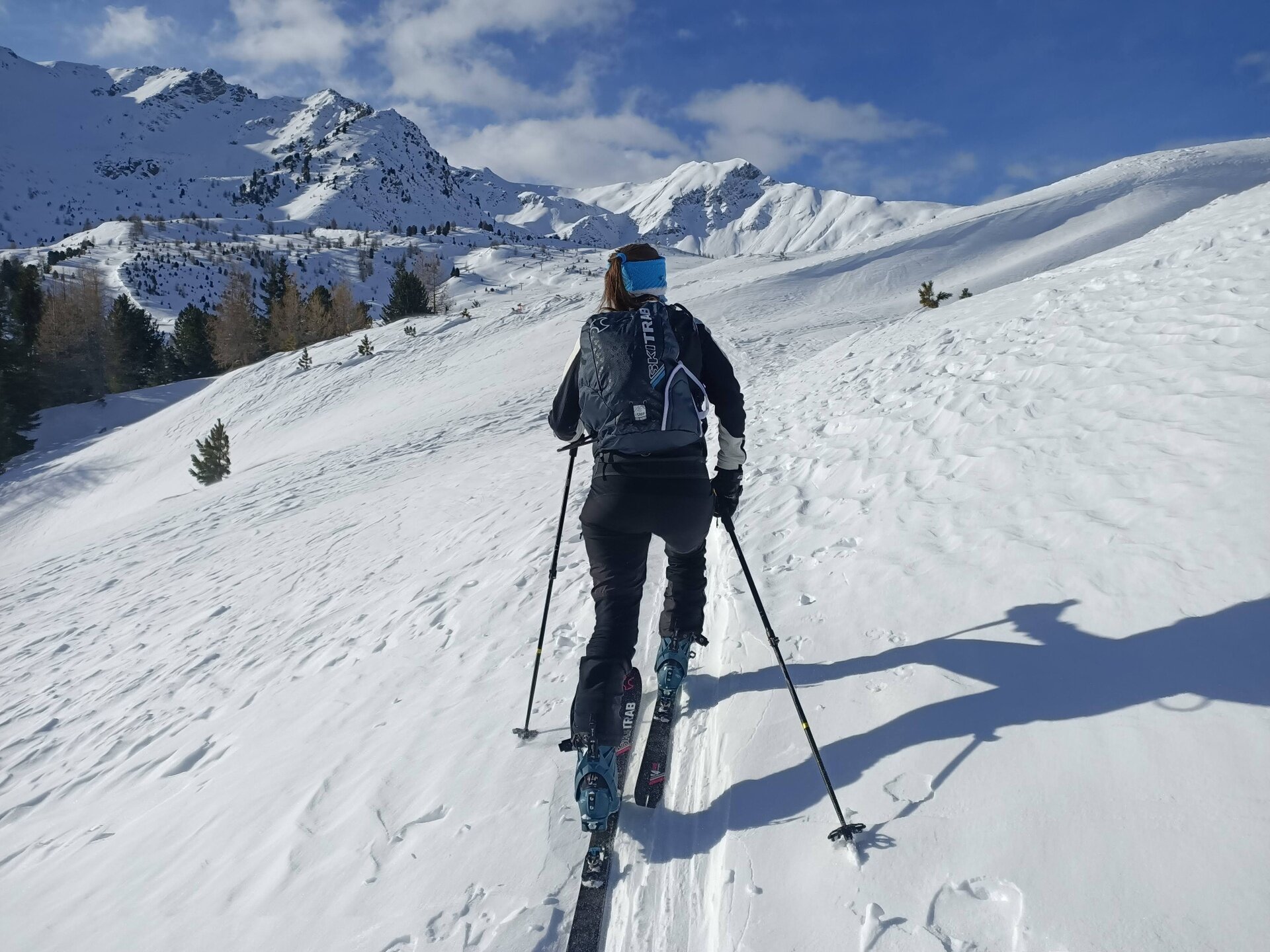
Possibility to continue to Mount Massucco, the highest point of the area that connects Valdisotto to Valdidentro

Img2 603972197 Default Variant
Img2 603972198 Default Variant
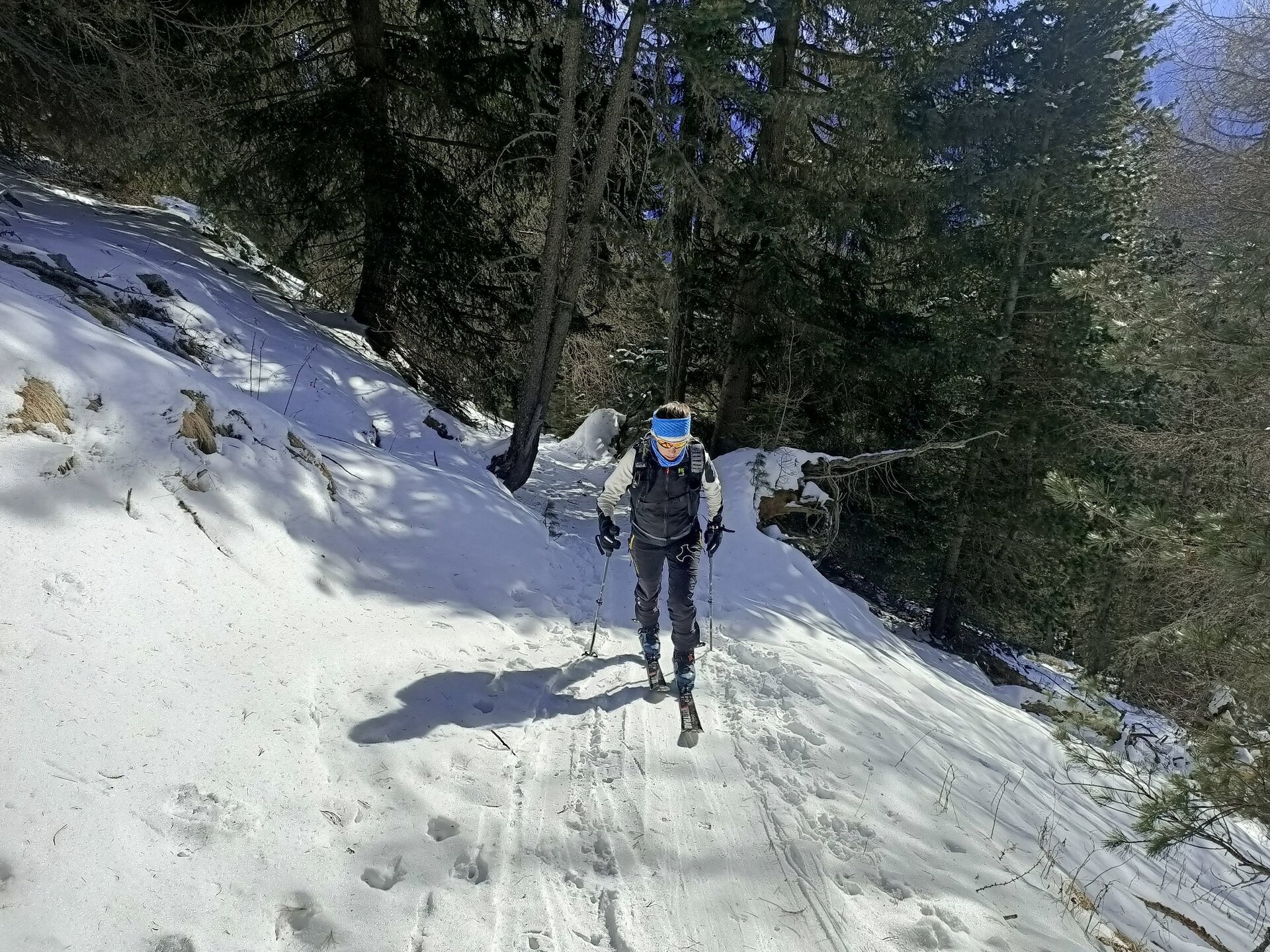
The exit of the traverse after the Red
Img2 604647954 Default Variant
Img2 604647955 Default Variant
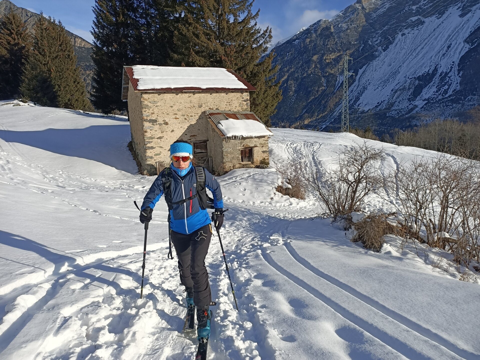
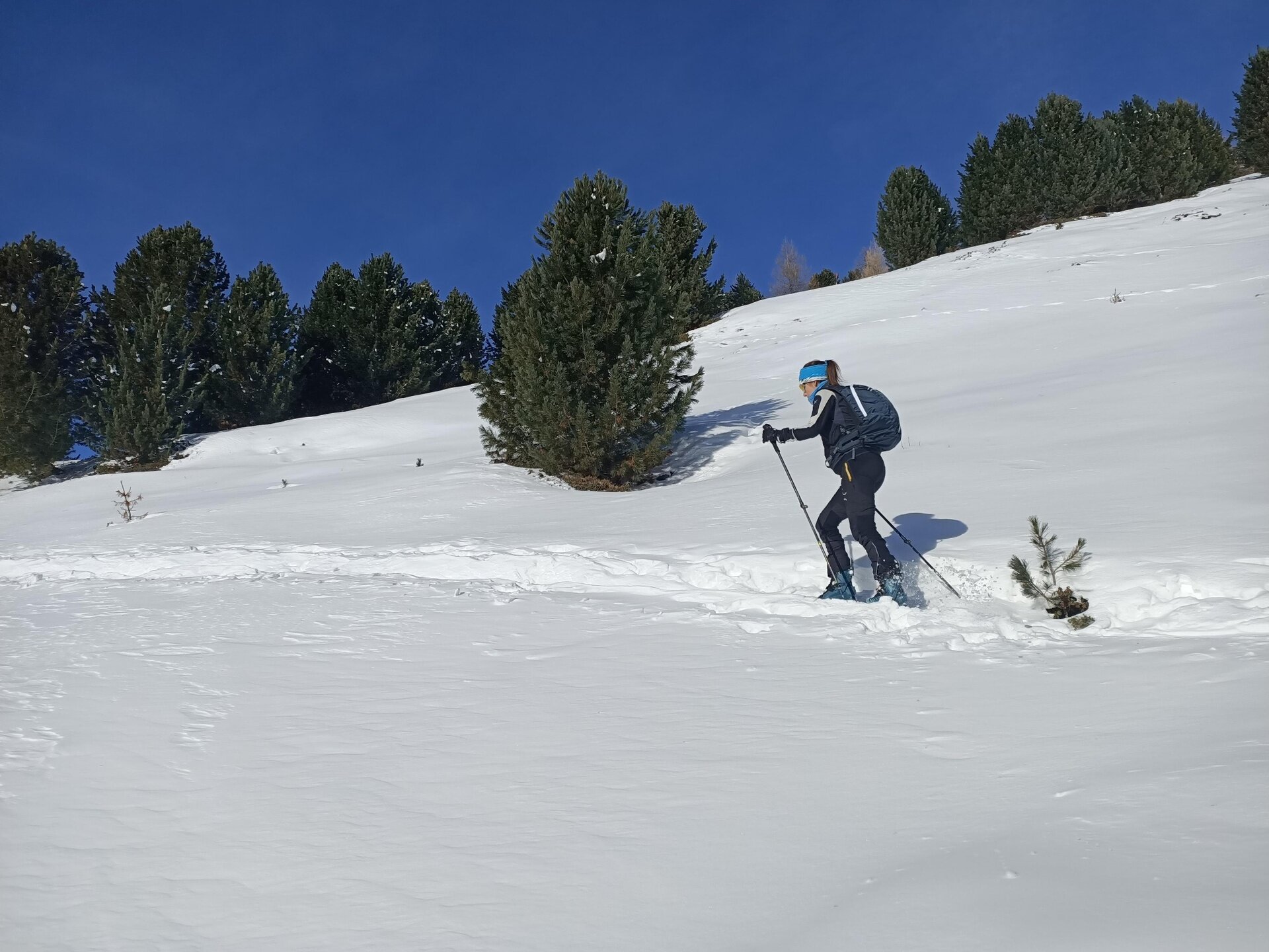
The last slope before Malga San Colombano
Img2 607879910 Default Variant
Img2 607879911 Default Variant
Img2 607879912 Default Variant
Img2 607879913 Default Variant
Img2 607879914 Default Variant

Associated itinerary slider title

Associated itinerary slider description

Find your stay, events, services, passes, forecast & webcams

Trying to organise your holiday in Bormio? We've put all the information you need in one place: from which mountain passes are open (so you can plan your journey), to our guide to what's on during your stay, information on which lifts are open, and the opening times for QC Terme Bormio and Bormio Terme. You can also find a list of local restaurants and equipment rental shops.
Thank you

We’ve sent you an email. To activate the newsletter, click on the link you will find in the message. Thank you!

Something went wrong

Try again

Close

Your request has been sent.

We have received your request. We will reply soon. A copy of the data you have provided us with has been sent to your email address.

Close

Your request has been sent.

We have received your request. Accommodations will answer soon. You will receive a copy of the data at the e-mail address you provided.

Close

Newsletter subscription title