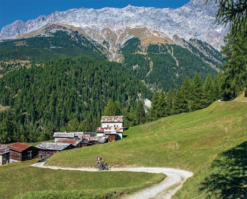
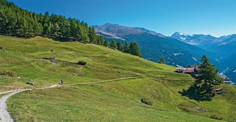
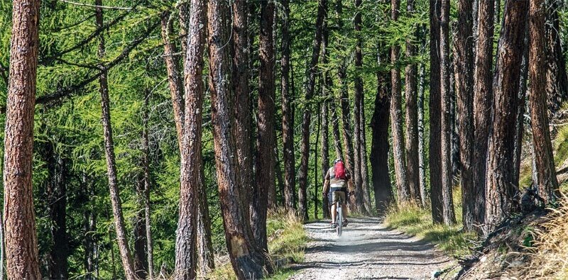
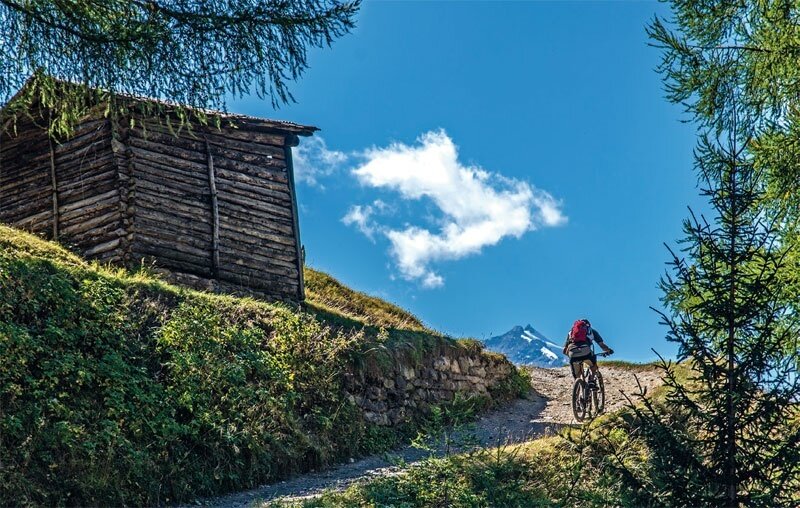
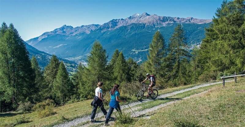
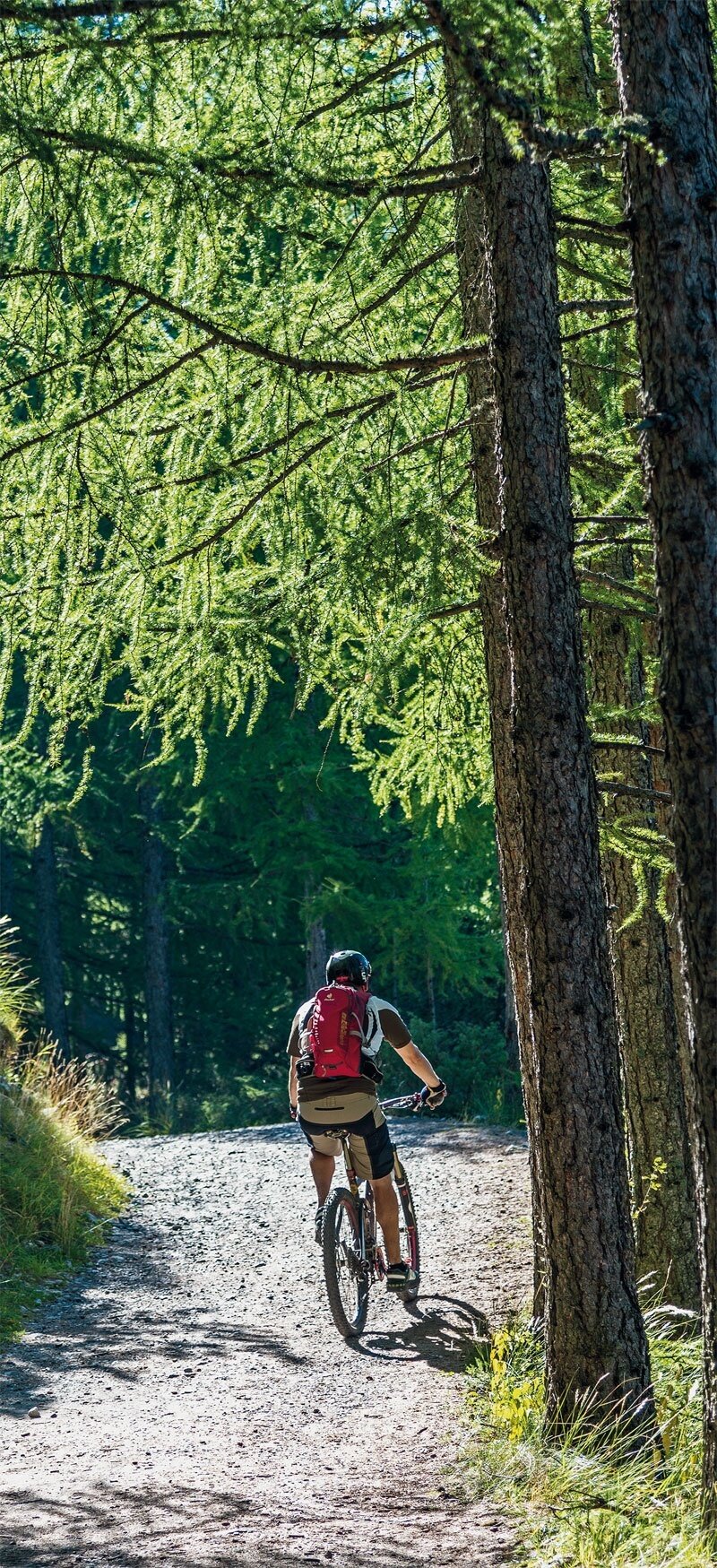
The route starts from the Pravasivo parking lot at 1400 m. Follow the signs for Pramezzano and Uzza on dirt road no. 533, going through a long stretch in the forest until you come across some junctions on the right that allow you to descend directly to Bormio following signs no. 538 and no. 511. Instead, we are at a panoramic clearing with a wooden structure at 1530 m and take the path no. 511 to the left towards Casina Alta heading east. Almost immediately, we leave another detour on the right and travel the Uzza valley with a slight ascent heading north. We soon exit the forest under the looming rock walls of the Reit Crest, cross streams from two valleys with a ford and a bridge, and after a short steep climb, turn left into the forest at a junction. Then we meet the Ables military road at a wide hairpin bend with a signboard, trail no. 531, at 1580 m. We follow the dirt road that climbs to Ortagio at 1620 m and shortly after the second hairpin bend take the road to the right, trail no. 546, which first leads to Plazzanecco at 1690 m, then to Cadalberto, trail no. 547, and finally to Fantelle parking lot at 1600 m. The next trail arrives at the Ponte delle Tre Croci at 1610 m from where to the left you enter Val Zebru'. We continue on the dirt road to the right, trail no. 527, climb to Pradaccio at 1658 m and just outside the huts find a crossroads: we descend again to the right, trail no. 567, down to San Gottardo and Sant'Antonio Valfurva. At the junction for Plazzanecco, you can instead choose to continue climbing on the military road, turn right at the fourth hairpin, reach the panoramic Alpe Solaz di Sopra, and descend to Fantelle on a steep and demanding path.
Bormio Pedemontana of the Reit
Itinerary details
Find your stay, events, services, passes, forecast & webcams
Trying to organise your holiday in Bormio? We've put all the information you need in one place: from which mountain passes are open (so you can plan your journey), to our guide to what's on during your stay, information on which lifts are open, and the opening times for QC Terme Bormio and Bormio Terme. You can also find a list of local restaurants and equipment rental shops.
