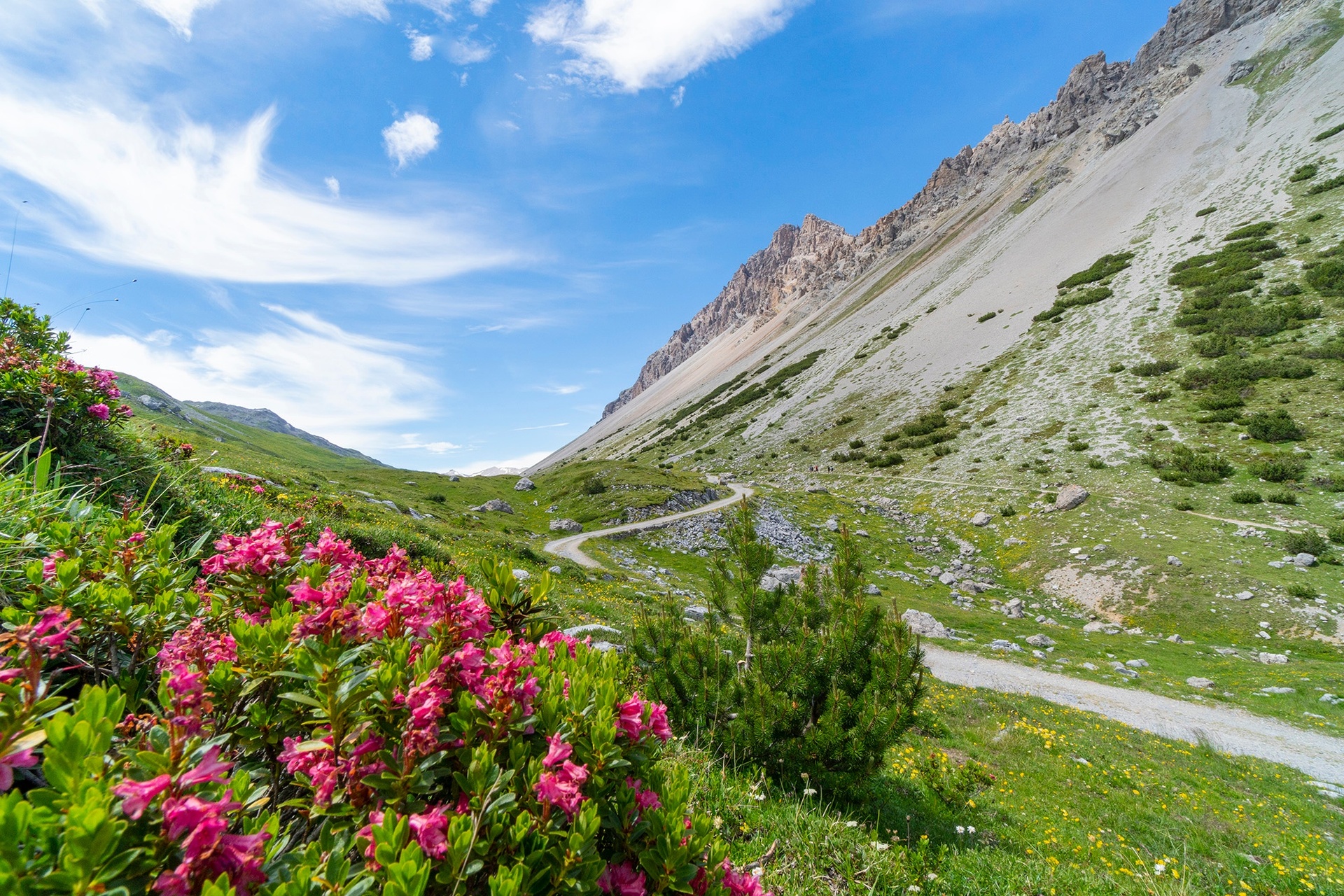
Un'altra tappa lunga, ma dal dislivello ridotto che unisce due importanti bacini per la produzione di energia idroelettrica: il Lago di Livigno e il Lago di Cancano. Raggiunto il Lago di Livigno ne si percorre il lato orientale fino al ponte sul Torrente Vallaccia che si attraversa prima di imboccare il sentiero che ne risale il ripido vallone fino al Passo di Alpisella a quota 2268 metri sul livello del mare. In discesa si raggiunge la sorgente del Fiume Adda e il Lago di San Giacomo di Fraele di cui si percorre la riva destra idrografica fino alla diga che lo separa dal Lago di Cancano fino alla diga nei cui pressi sorge il Rifugio Monte alle Scale.
Sentiero Italia D34N - Tappa Livigno - Loc. Teola - Rifugio Monte alle Scale (Cancano)
Itinerary details

Associated itinerary slider title
Associated itinerary slider description
Find your stay, events, services, passes, forecast & webcams
Trying to organise your holiday in Bormio? We've put all the information you need in one place: from which mountain passes are open (so you can plan your journey), to our guide to what's on during your stay, information on which lifts are open, and the opening times for QC Terme Bormio and Bormio Terme. You can also find a list of local restaurants and equipment rental shops.
