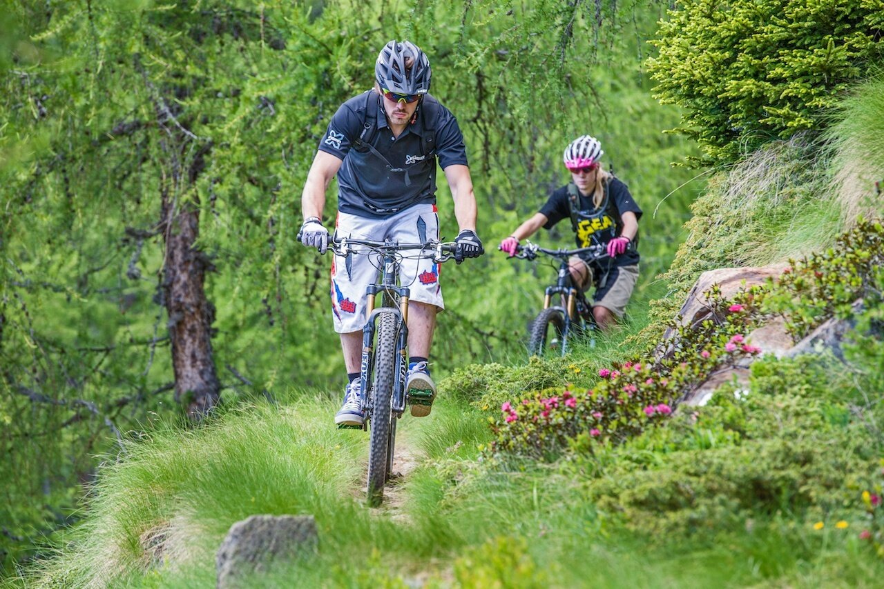
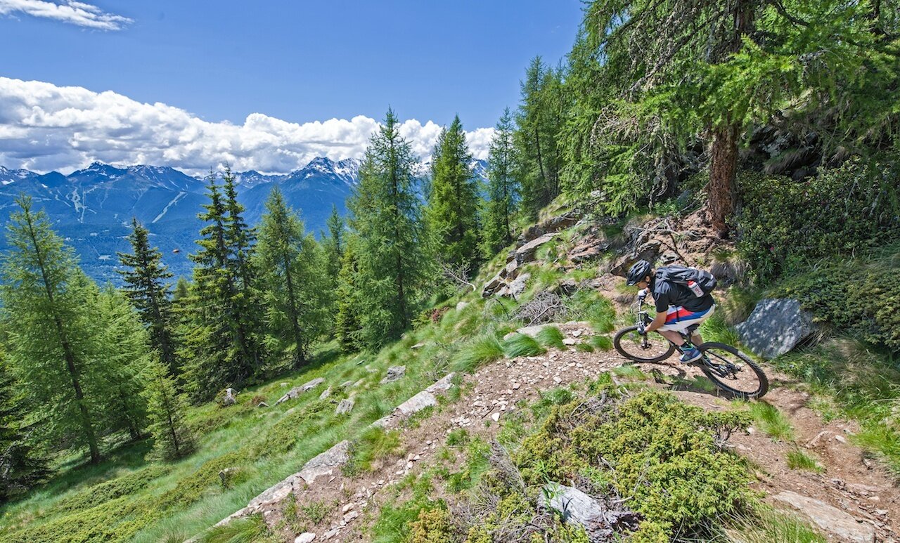
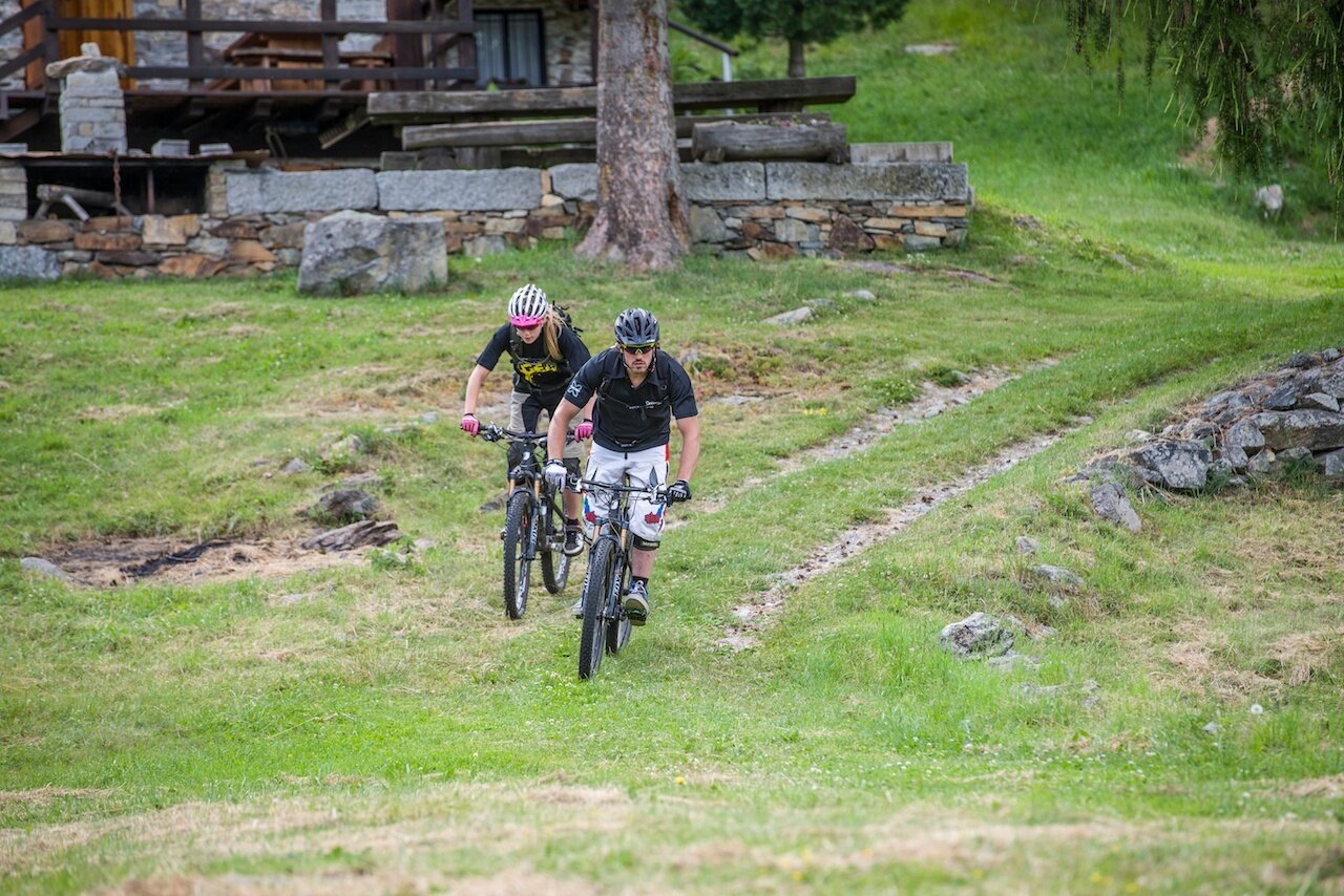
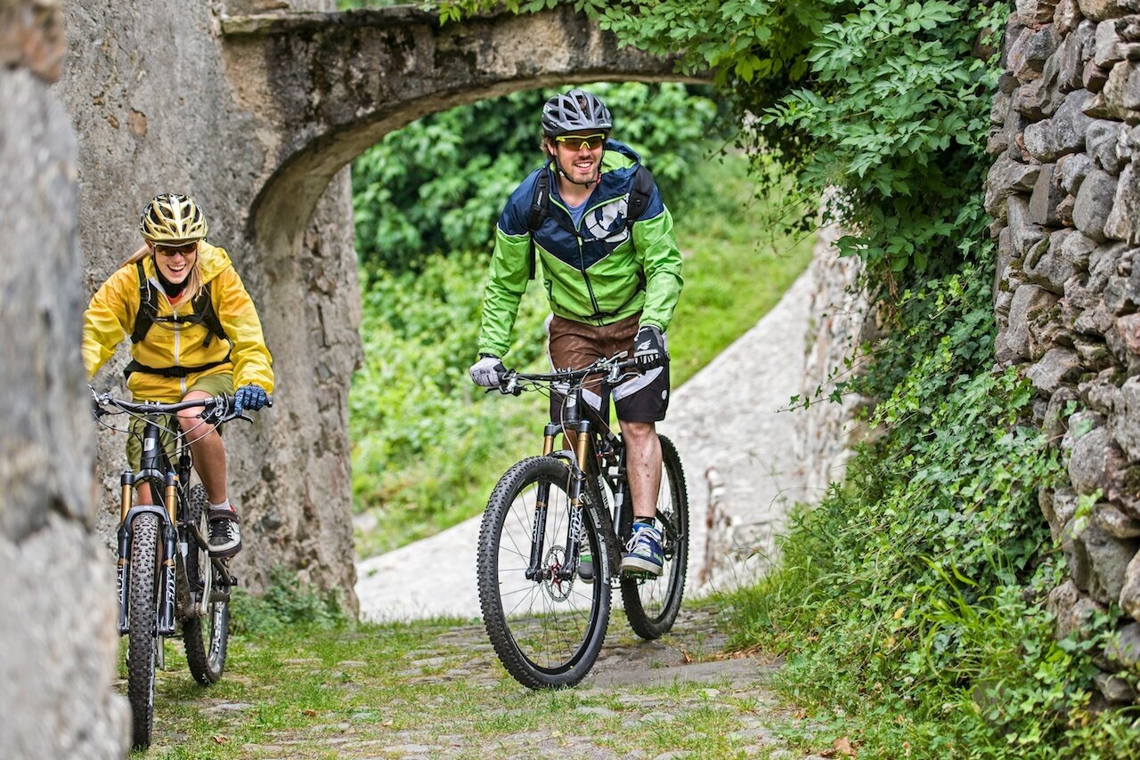
Route that partly takes place on Swiss territory. The Col D'Anzana marks the border between Italy and Switzerland and from here, taking the path on the left, you descend into the valley floor. The descent essentially divides into two types: the first part up to Lughina is pleasant and linear (except for a short stretch with technical hairpin bends: walking the bike is recommended) while the second part, which goes down to Tirano, is all on a mule track with a constant and continuous slope.
THE CLIMB
From Madonna di Tirano you reach the Piattamala border and continue to Campascio then turn left towards Cavaione along an asphalt road. Continue to Pescia Bassa. From Pescia Bassa to Col d'Anzana you pedal for 2.2 km on a dirt road up to Pescia Alta and then on a well-marked path up to Col d'Anzana. Before Pescia Alta, along the road at 2050 m above sea level, you encounter the Anzana Refuge.
THE DESCENT
From Col d'Anzana to Tirano 12.3 km 1,805 m. From Col d'Anzana you descend just a few meters (sign step 1 - 2174 m a.s.l.) where, to the left, a path starts that first with a long panoramic traverse and then with a beautiful mule track takes us to Frantelone (sign step 2 - 1740 m a.s.l.) where the easier variant is signaled on a dirt road to Lughina. If you decide to continue you must take into account a series of technical hairpins requiring caution and prudence. From Lughina (sign step 3 - 1430 m a.s.l.) starts the very long mule track that descends to the vineyards of Villa di Tirano. The nearby Sanctuary of Madonna di Tirano is the gateway to the city.


