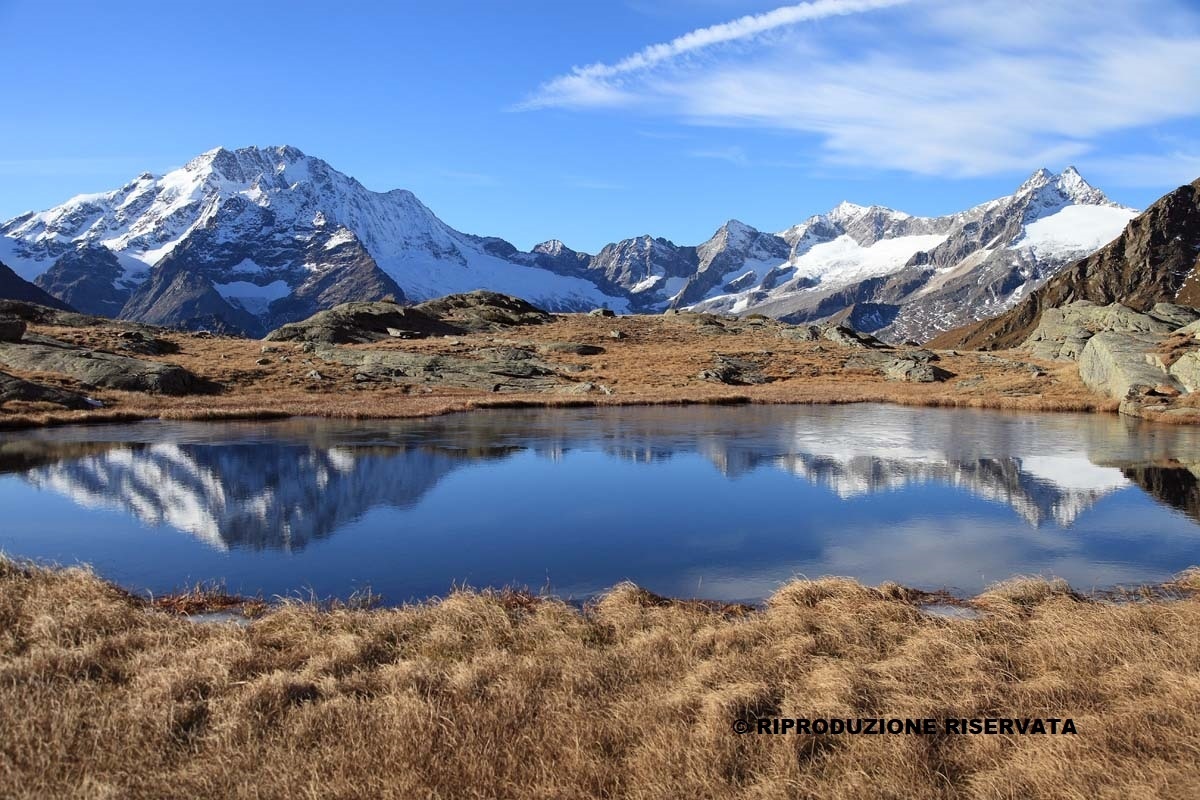
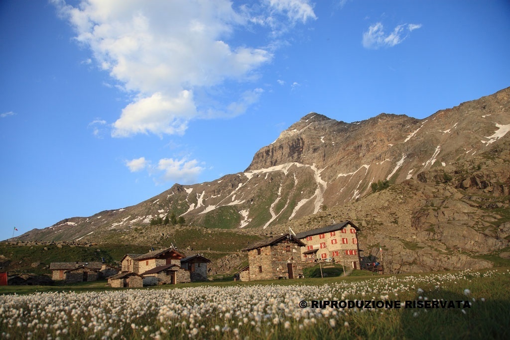
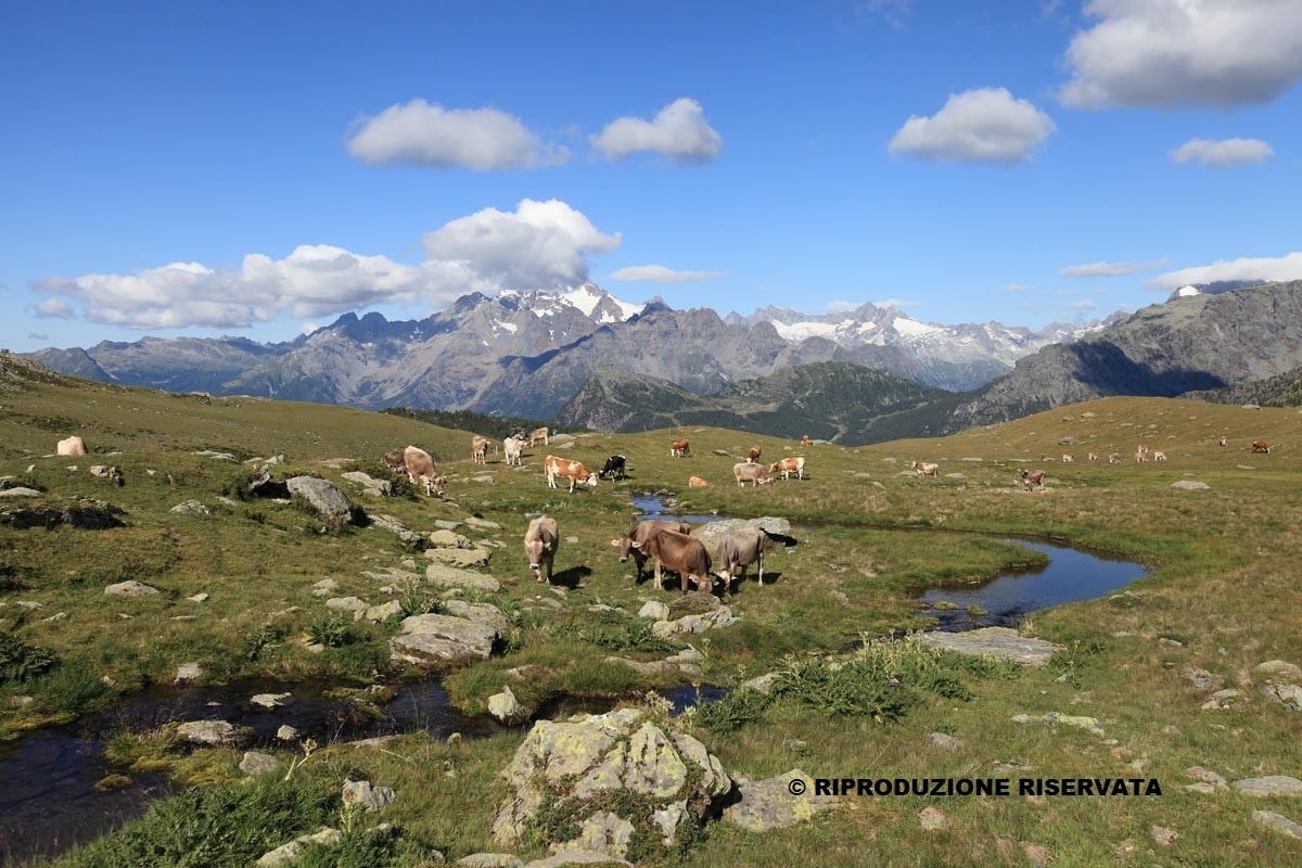
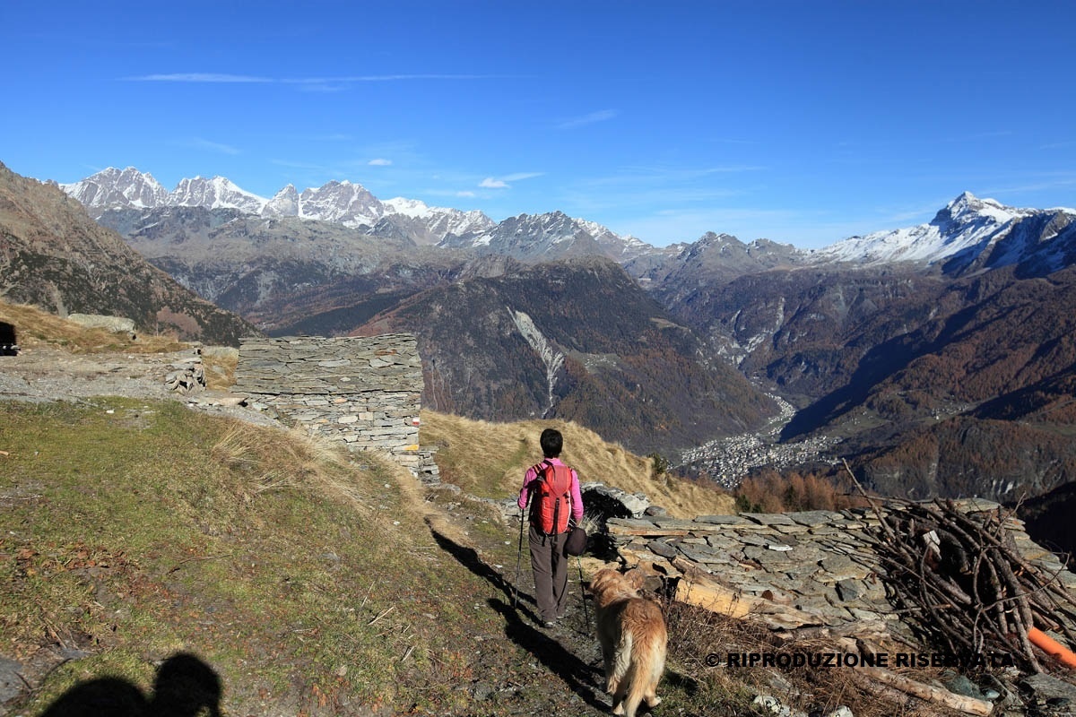
The Alta Via della Valmalenco is a high-altitude hiking route consisting of 8 stages covering about 110 km, which ultimately returns to the starting point, or it can be split into mini Alta Vie of only 2 or 3 days. There is a main itinerary or variants connecting the most important huts in Valmalenco. Along the way, the most significant and panoramic points of the valley are reached: the Chiareggio basin, Lake Palù, the Scerscen valley, the Campo Moro and Campo Gera dams. In the fantastic scenery of pastures, alpine pastures, lakes, woods, quarries, and passes, you can admire the majestic glaciers of Disgrazia, Bernina, and Scalino. The Alta Via requires considerable physical effort and good preparation. In fact, there are some stretches that must not be taken lightly but with mountain equipment. Prudence and attention are qualities required from everyone. Training is recommended for the more challenging stages. Since it reaches altitudes around 3,000 meters, the Alta Via is only feasible in the summer months.
Alta Via della Valmalenco
Itinerary details


Associated itinerary slider title
Associated itinerary slider description
Find your stay, events, services, passes, forecast & webcams
Trying to organise your holiday in Bormio? We've put all the information you need in one place: from which mountain passes are open (so you can plan your journey), to our guide to what's on during your stay, information on which lifts are open, and the opening times for QC Terme Bormio and Bormio Terme. You can also find a list of local restaurants and equipment rental shops.
