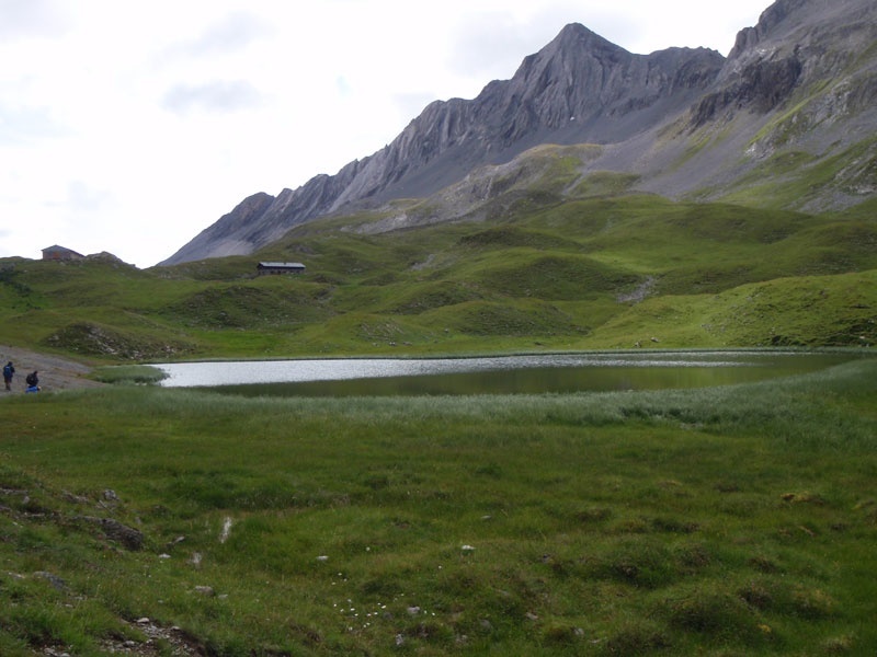
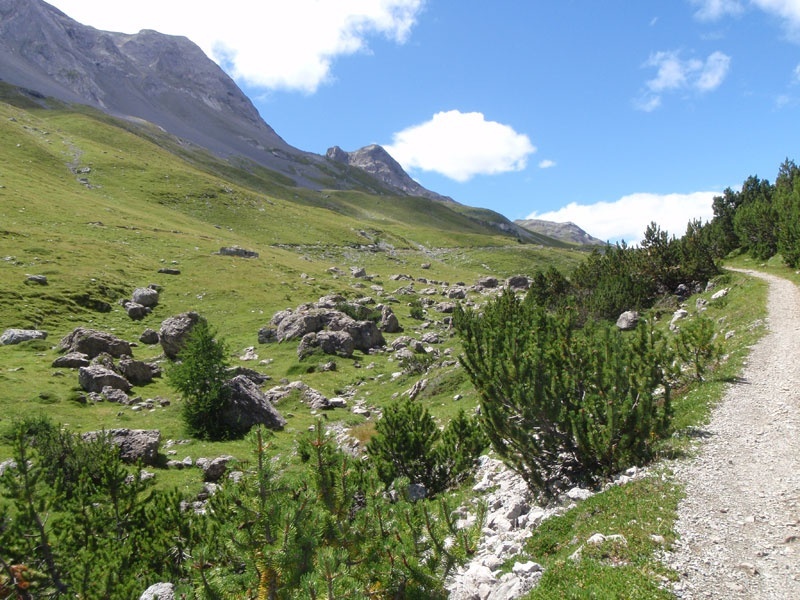
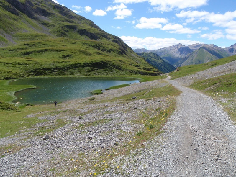
Start from Rifugio Cascia'na at 2,601 m above sea level and descend along the drivable path sent. N172 which continues almost to the valley floor and joins, on the left, sent. N173 whose route runs gently alongside the te'e until Ponte Calcheira P3. From here, take the asphalt-paved cycle path heading towards Lake Livigno, following the Federia stream, and pass by the Aquagranda Wellness Park Center where a relaxing stop is possible. Continuing on the cycle path, reach the Latteria di Livigno and then travel flat along the drivable path sent. N138, on the right bank of Lake Livigno, until reaching the refreshment point da l'Alpasge'la. From here, in the Stelvio National Park territory, the path becomes narrower and immerses into a forest of dwarf pines which gradually share the area with larches and firs. After passing Pontin da l'Alpasge'la, the route gets steeper before reaching, with a gentler ascent in the last part, the Passo di Val Alpisella.
Passo Val Alpisella
Itinerary details


Associated itinerary slider title
Associated itinerary slider description
Find your stay, events, services, passes, forecast & webcams
Trying to organise your holiday in Bormio? We've put all the information you need in one place: from which mountain passes are open (so you can plan your journey), to our guide to what's on during your stay, information on which lifts are open, and the opening times for QC Terme Bormio and Bormio Terme. You can also find a list of local restaurants and equipment rental shops.
